9 November 2025
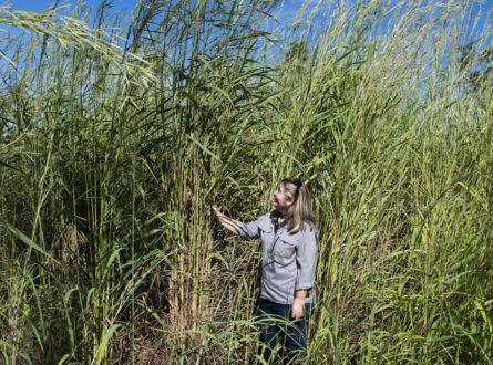
Invasive grasses are one of the most significant threats to biodiversity across northern Australia, changing fire regimes, altering habitat structure, and threatening the cultural and tourism values of the landscapes they invade. Gamba grass is the most significant of these threats. It’s now widespread across the NT and is spreading throughout Cape York.
The Australian Government’s Threatened Species Action Plan 2022–2032 sets a target to reduce gamba grass to an area smaller than its 2022 range by 2027. Achieving this target depends on land managers being able to map the extent of the problem, and monitor management progress, at a landscape scale.
That mapping challenge is the focus of ‘Supporting the strategic management of invasive grasses’, a National Environmental Science Program (NESP) Resilient Landscapes Hub project co-led by RIEL’s Dr Natalie RossiterRachor and the University of Western Australia’s Prof Samantha Setterfield. The project targets gamba grass, para grass, and olive hymenachne, and runs from 2023 to 2027. Working with the Terrestrial Ecosystem Research Network (TERN), the team has spent the past few years developing and testing a mobile data-capture application to be used for helicopter surveys of weed distribution, replacing an ageing, unreliable Access database system decommissioned in 2022.
The new mapping tool has moved well past the prototype stage. NT Parks now carry out annual gamba grass surveys in Litchfield National Park with support of the NESP researchers — a marked shift from the previous approach, where comprehensive surveys only happened when funding allowed, roughly every seven years, with gamba grass expanding by around 10,000 hectares during each period. The NT Weed Management Branch has also used the tool to map olive hymenachne across the Arafura Swamp in Arnhem Land. In total, testing and active use of the mapping tool has now covered an estimated 145,000 hectares.
Alongside the mapping app, Dr Rossiter-Rachor and Prof Setterfield have continued contributing to national best-practice guidance, authoring sections of the national gamba grass management manual and helping develop an aerial weed survey protocol so mangers can easily use the mapping tool. These protocols will be included in the Ecological Monitoring System Australia (EMSA), a national monitoring system developed by TERN with the Australian Government’s Department of Climate Change, Energy, the Environment and Water. Because the mapping tool is built around Weeds of National Significance mapping categories, it isn’t limited to gamba grass: it can be used for any weed identifiable from a helicopter, including mimosa and siam weed, extending its relevance well beyond the project’s three focus invasive grass species.
The mapping app is expected to launch as part of the national EMSA suite in 2026. In 2027, training is planned to extend into Cape York, so land managers can carry out their own weed surveys using the same system. Together, these steps are shifting invasive grass management in northern Australia from sporadic, funding-dependent surveys toward the kind of continuous, manager-led monitoring needed to meet the national Threatened Species Action Plan target for gamba grass by 2027.
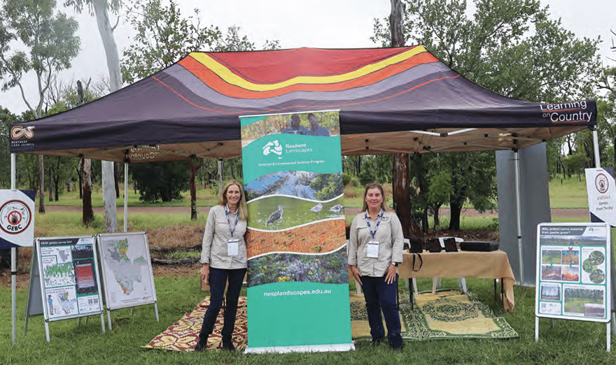
Prof Samantha Setterfield and Dr Natalie Rossiter-Rachor display aerial weed survey tablets at the Northern Land Council’s ExtravaGAMBA training day in 2025. Photo: Emily Davis/NESP Resilient Landscapes Hub.
This story was originally posted in the RIEL Annual Report 2025.
Want to know more about the Resilient Landscapes Hub's activities and our research into practical solutions to environmental problems? Stay informed about activities, research, publications, events and more through the Hub newsletter.
"*" indicates required fields