2 September 2025
Members of 87 local environment groups across the New South Wales Northern Rivers have contributed to mapping the priorities and challenges for conservation in the region.
The National Environmental Science Program Resilient Landscapes Hub project is investigating a community-centred approach to better enable sustainable outcomes with adaptation solutions that are locally supported, aligned and culturally appropriate.
As part of a broader research project also involving the Wet Tropics of Queensland, this work is helping to develop region-specific climate change adaptation plans to support local conservation efforts.
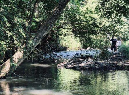
For the NSW Northern Rivers region, two key workshops were held earlier this year in the Clarence Valley and the Tweed Valley. These gatherings brought together a wide range of nature-focused groups to connect, share experiences, and begin identifying their needs and the steps required to meet future conservation challenges. The workshops created valuable space for collaboration and laid the groundwork for ongoing regional action.

The Clarence Valley workshop. Photo: Naomi Ploos van Amstel.
Alongside the workshops, more than 60 members representing 87 different local environmental organisations took part in interviews using Q-method. This approach involves ranking a set of statements to better understand different perspectives and priorities within the conservation community. These insights have already been shared with participants and will inform upcoming research publications.
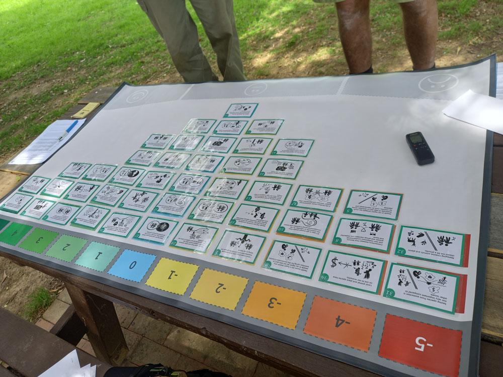
Q-methodology responses were gathered by over 60 respondents. Photo: Naomi Ploos van Amstel.
To support ongoing connection and collaboration, a dynamic network map has been created using the Kumu platform. This interactive tool visualises the relationships between local groups, making it easy to explore how organisations are linked across the region and identify opportunities for collaboration.

A network map of Natural Resource Management groups in the New South Wales Northern Rivers region.
A detailed activity map has been developed using the Leaflet platform. This map shows the locations and focus areas of conservation groups, along with contact information, administrative boundaries, and protected areas — helping both community members and researchers see the big picture.

A spatial map showing information on environmental groups.
Together, these tools and activities are building a more connected, informed, and resilient environmental community for the NSW Northern Rivers.
Want to know more about the Resilient Landscapes Hub's activities and our research into practical solutions to environmental problems? Stay informed about activities, research, publications, events and more through the Hub newsletter.
"*" indicates required fields