15 May 2026
Australian Alpine peatlands are unique ecosystems found in the high-altitude regions of Victoria, NSW and the ACT. They may be remote—but their impact is enormous.
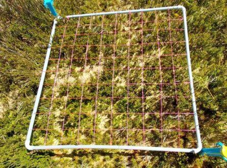
Yet monitoring their health is challenging due to fragmented landscapes and limited tools.
The PeatSense project is changing that. By combining high-resolution drone imagery – working with Nallawilli Bunjil – along with satellite remote sensing and on-ground hydrological data, researchers at La Trobe University and partners working on a National Environmental Science Program project are building a smarter, scalable way to assess peatland condition across the Australian Alps.
The goal: real-time, practical insights that empower land managers to make better decisions and support recovery in ecosystems under pressure from fire, climate change, and invasive species.
A powerful example of technology, collaboration and environmental science working together to protect some of our most valuable and vulnerable natural systems.
Our project partners: La Trobe University, The Research Centre for Applied Alpine Ecology, Nallawilli Group, Australian Alps National Parks, NSW Local Land Services, North East Catchment Management Authority and University of Quebec and Montreal.
Want to know more about the Resilient Landscapes Hub's activities and our research into practical solutions to environmental problems? Stay informed about activities, research, publications, events and more through the Hub newsletter.
"*" indicates required fields