Ewen Silvester
Project co-lead
La Trobe University
Start date: 01/01/2025
End date: 30/06/2027
NESP funding: $700,000 (GST-exclusive)
This project aims to develop advanced methods for monitoring the condition of alpine peatlands in the Australian Alps, which are threatened by fire, feral animals, climate change and other environmental pressures. These peatlands are critical habitats for endangered species, but effective monitoring is hampered by their remote locations and the limitations of current assessment techniques. The project will integrate satellite remote sensing, high-frequency on-ground hydrological data, and vegetation surveys to create reliable workflows for assessing peatland health across large areas. This information will support better management decisions and recovery plans.
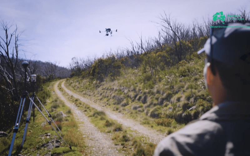
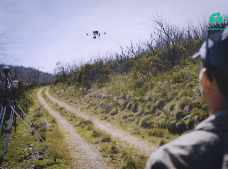
A drone with a hyperspectral camera attached, Mullion ACT. Photo: Ewen Silvester.
The project will build on existing monitoring efforts in Victoria, NSW and the ACT, where long-term data on peatland hydrology and vegetation are already available. New data will be collected, including additional piezometer measurements and drone-based imaging, to expand the monitoring network and refine the models. The integration of these diverse data sources will enable real-time monitoring of peatland condition, allowing more informed and targeted conservation actions.
Ultimately, the project aims to create a robust system for monitoring alpine peatlands that can be used by land managers across the Australian Alps. By developing innovative tools for high-resolution, real-time assessment, the project will help improve conservation efforts and provide valuable insights into peatland dynamics under changing environmental conditions.
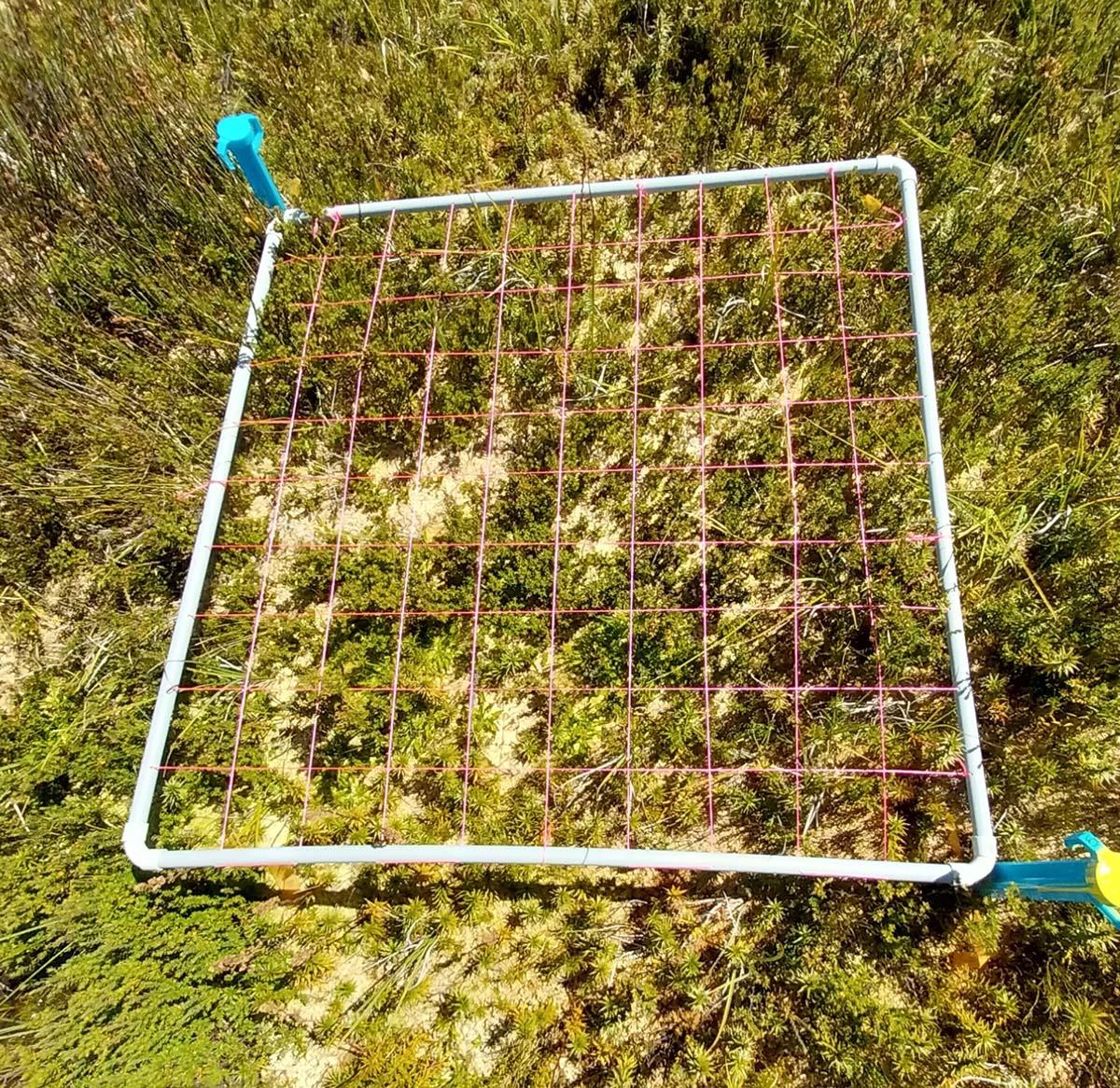
Peatland indexed quadrant (1 metre; 10 cm pixels), Crop Saddle peatland, Bogong High Plains, Victoria. Photo: Ewen Silvester.
Key research areas
The project is divided into three modules:
Module 1 will use Landsat and Sentinel satellite data alongside high-frequency hydrological measurements (e.g., piezometer data) to construct long-term condition records for peatlands, develop statistical models, and create a user-friendly workflow for land managers.
Module 2 will explore the use of PlanetScope satellite data, which provides higher resolution and more frequent monitoring, to improve understanding of seasonal peatland dynamics and detect short-term disturbances.
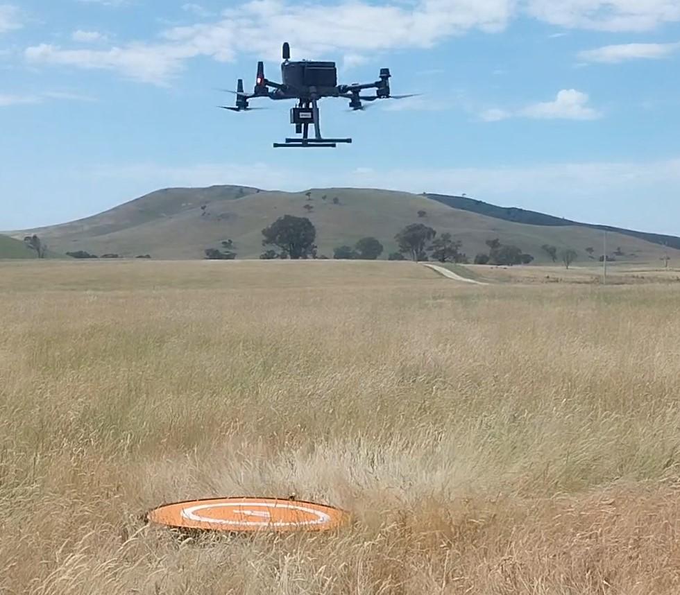
Module 3 will employ drone-based multispectral and hyperspectral imaging to map peatland vegetation at high resolution, using AI models to analyse vegetation complexity and cross-validate with satellite data.
Pathway to impact
This project will support better management of alpine peatlands by:
Scientific Paper
October 2025 | Open Access
The PeatPic project: predicting plot-scale green leaf phenology across peatlands
Scott J Davidson et al 2025 Environ. Res. Lett. 20 114002
Scientific Paper
June 2025 | Open Access
Sphagnum peatland hydrological balance shows high groundwater dependence and resilience to short‐term dry periods
Gunawardhana, M., Treby, S., Silvester, E., Jones, O. A. H., & Grover, S. (2025). Sphagnum peatland hydrological balance shows high groundwater dependence and resilience to short-term dry periods. Water Resources Research, 61, e2024WR039454. https://doi.org/10.1029/2024WR039454
Project leaders
This project is being led by Associate Professor Ewen Silvester and Dr Michael Shackleton of La Trobe University, and Scott Allen of the Jaithmathang Traditional Ancestral Bloodline Original Owners First Nation Aboriginal Corporation.
Contact
For further information contact e.silvester@latrobe.edu.au or nesplandscapes@uwa.edu.au.
Research users
People
Indigenous Advisory Panel Member
Jaithmathang Traditional Ancestral Bloodline Original Owners First Nation Aboriginal Corporation