28 May 2026
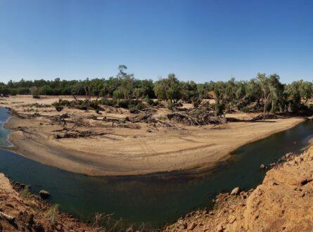
New research has uncovered the critical role of floodplain pools in supporting young fish in the National Heritage-listed Martuwarra Fitzroy River—providing important new evidence to inform water allocation planning in the region.
National Environmental Science Program Resilient Landscapes Hub research led by The University of Western Australia examined how fish use habitats across the river system in their first year of life.
The study published in Marine and Freshwater Research found young fish from 20 of 21 species in floodplain pools, with most species using these habitats more often than the main river channel.
Lead researcher Dr Oliver Pratt said the diversity of fish using the floodplain pools was surprising.
“We didn’t expect to find so many different fish species using floodplain pools,” Dr Pratt said. “These are shallow habitats, often averaging only 50 centimetres deep, and many dry out each year, so they’re risky environments. The fact that young fish are there, even the fork-tailed catfish usually found in the main river channel, suggests that these pools can provide real benefits early in a fish’s life.”
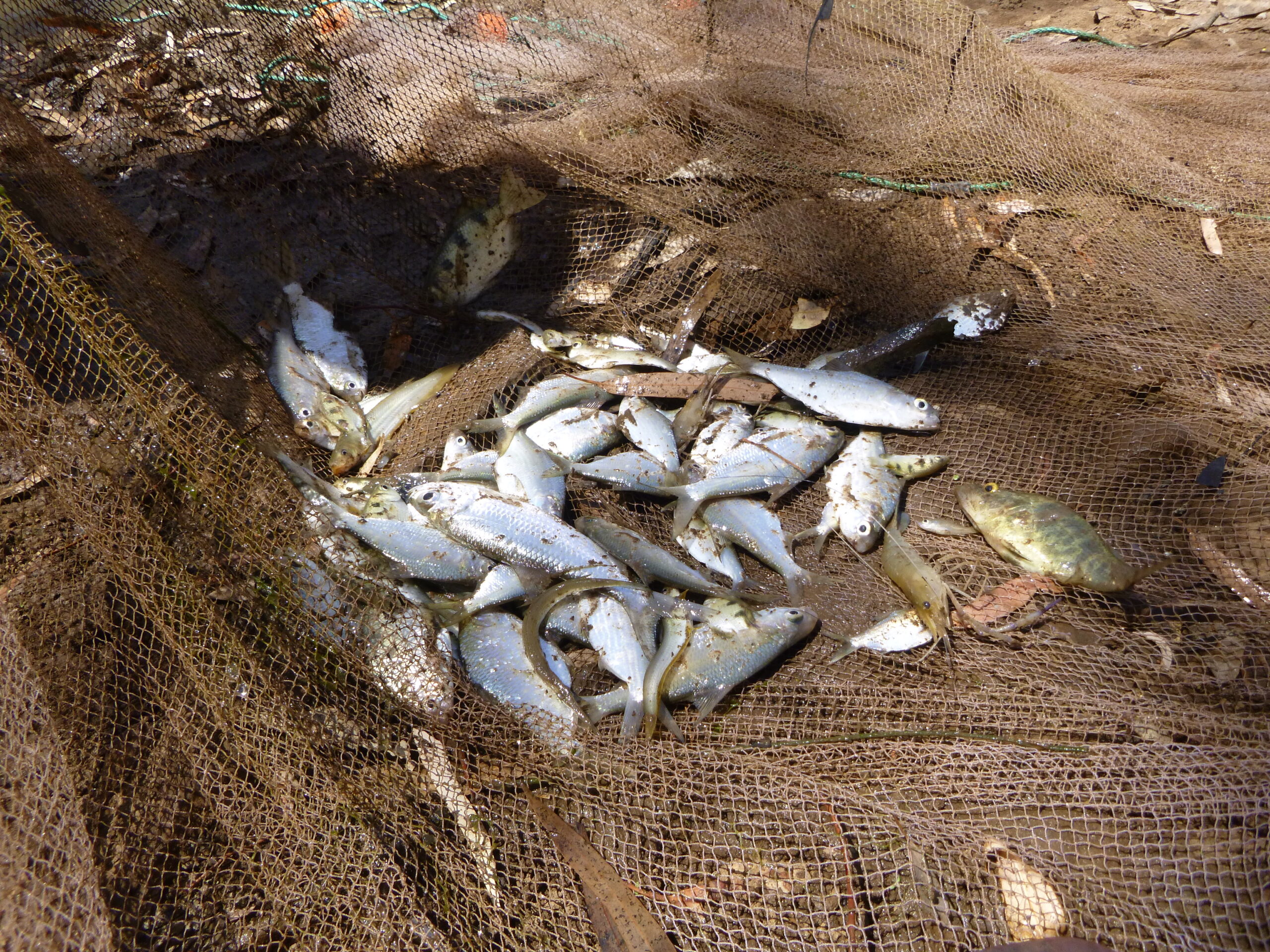
Multiple fish species captured in a shallow Martuwarra Fitzroy River floodplain pool. Photo: Leah Beesley.
“Floodplain pools can offer young fish a real advantage.” Dr Pratt explained. “They often have fewer predators like barramundi, bull sharks, and crocodiles, and plenty of nutrient-rich food such as zooplankton. So even though they can look quite isolated, these pools can play a key role in supporting fish in the earliest stages of life.”
The findings have important implications for how we understand and manage the river, particularly in a landscape where connections between the river and its floodplain are brief and highly variable.
“These connections are everything,” Dr Pratt said. “If flows are reduced and floodplain pools don’t fill or reconnect, you risk losing important habitat for young fish and that can have impacts right across the entire river system.”
The research comes at a critical time for the Martuwarra Fitzroy River, as governments consider mitigating impacts from climate change and water allocation strategies that will guide future use of the system. While current policy settings limit surface water extraction, proposals for irrigated agriculture and groundwater use remain under discussion, and future policy directions are not yet locked in.
The Martuwarra Fitzroy River, one of Australia’s largest tropical river systems, flows more than 730 kilometres through the west Kimberley to King Sound, supporting rich ecological and cultural values.
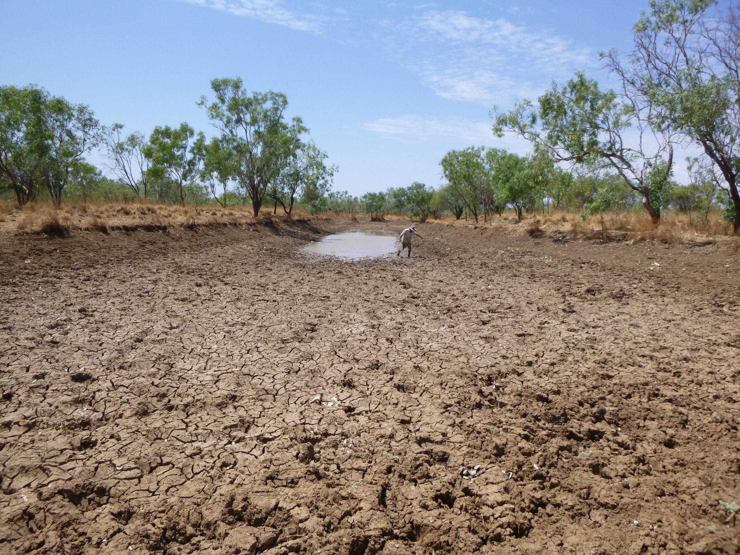
A drying pool on the floodplain of the Martuwarra Fitzroy River. Photo: Leah Beesley.
This new evidence adds to a growing body of research led by the National Environmental Science Program to better understand the Martuwarra Fitzroy River’s environmental and cultural water requirements. That work has been developed in close collaboration with Traditional Owners, whose knowledge and connection to the river are central to water planning in the region.
The National Environmental Science Program Resilient Landscapes Hub is funded by the Australian government to provide research to inform management of Australia’s terrestrial and freshwater habitats to promote resilience and sustainability.
Want to know more about the Resilient Landscapes Hub's activities and our research into practical solutions to environmental problems? Stay informed about activities, research, publications, events and more through the Hub newsletter.
"*" indicates required fields