Jim Radford
Key Researcher
La Trobe University

Project start date: 01/07/2024
Project end date: 30/06/2027
NESP funding: $858,203 (GST-exclusive)
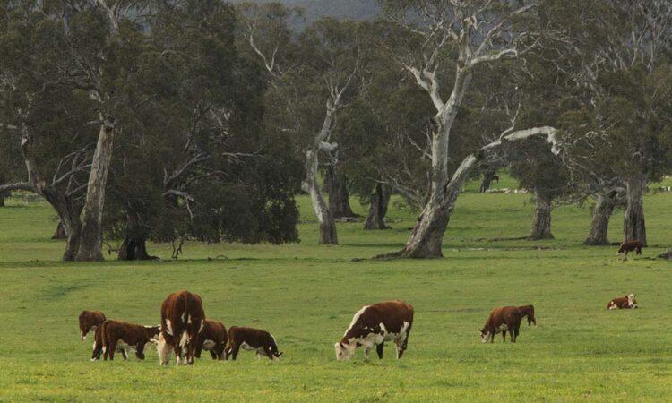
Agricultural landscapes in Australia have historically been places of ecological decline. Habitat loss and fragmentation from land clearing, overgrazing by livestock and feral herbivores, inappropriate fire regimes and weed invasion in remnant vegetation are among the factors that pose challenges for conservation in these landscapes. Yet agricultural landscapes retain important conservation values, and new incentives for nature-positive outcomes will provide opportunities for changes in farm management that improve biodiversity outcomes.
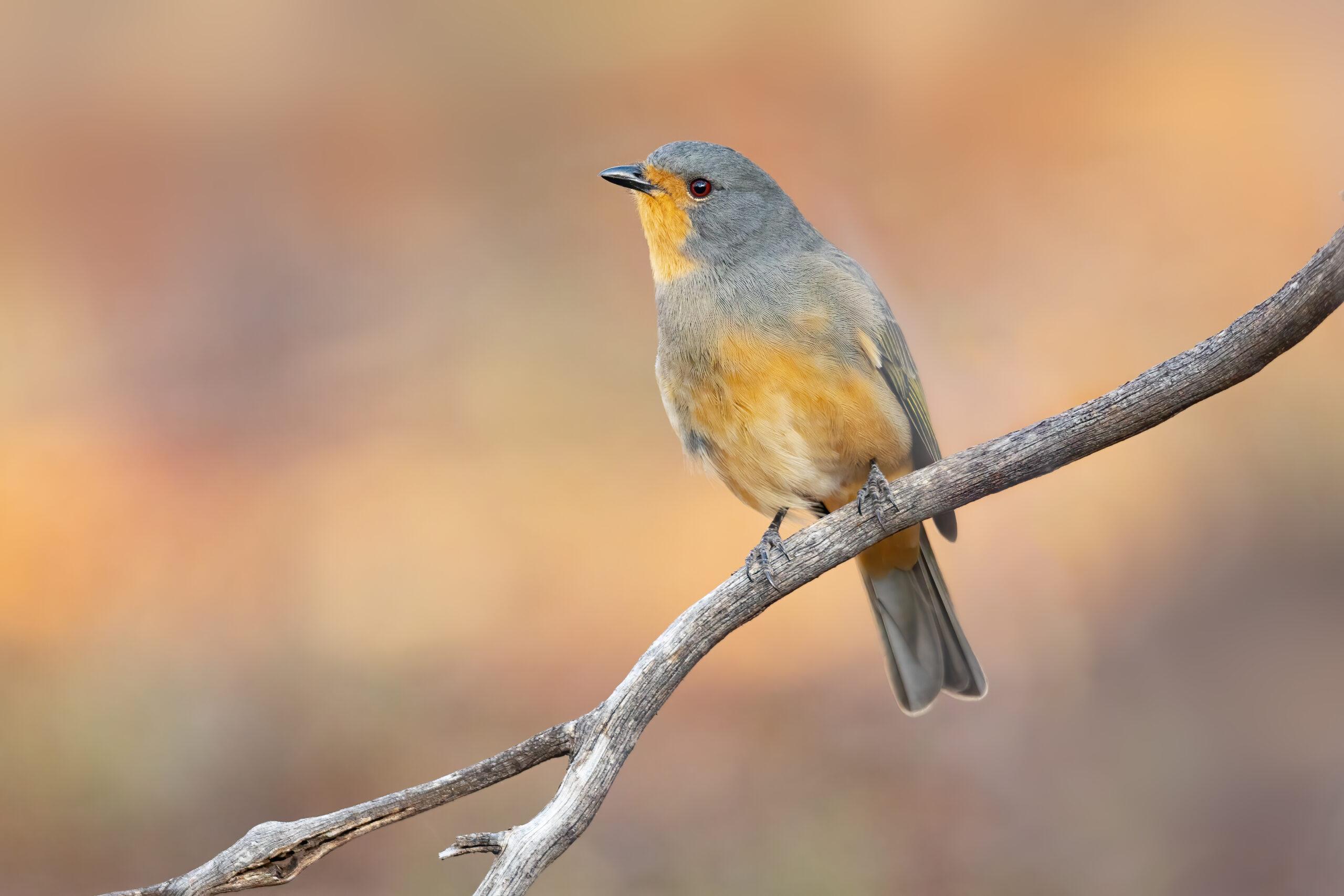
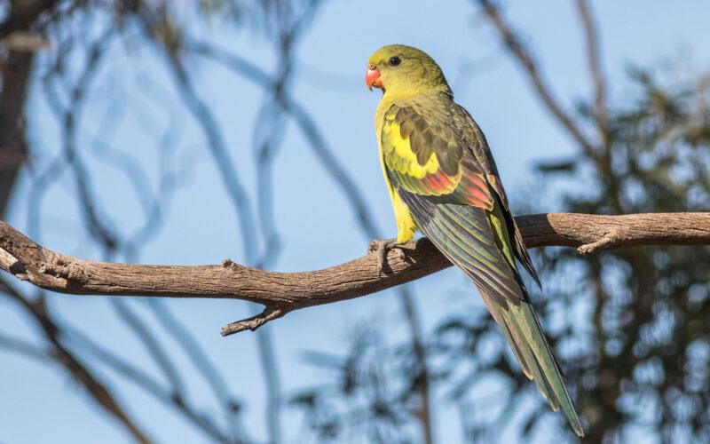
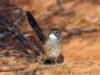
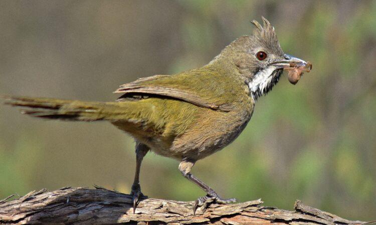
The vulnerable red-lored whistler (Pachycephala rufogularis) is a mallee specialist. Photo JJ Harrison CC BY-SA 3.0.
This project is developing state-and-transition models, interactive maps and practical decision-support tools to help land managers understand how ecosystems change and identify actions that can maintain or improve their condition.
The research brings together two complementary areas:
Limestone Coast state-and-transition models
State-and-transition models of the agricultural zone: flooding red gum woodland, lowland resprouting woodland and sedgelands.
Mallee Woodlands state-and-transition models
State and transition models for Mallee Woodlands of the Murray Darling Depression of south-east Australia.
Understanding how ecosystems change
State-and-transition models describe the different condition states in which an ecosystem can occur and the processes that move it from one condition state to another.
For example, an ecosystem may transition from a relatively intact state to a modified or highly modified state because of grazing, clearing, weeds, changed fire regimes or altered hydrology. Management actions such as controlling grazing, restoring vegetation, managing fire or improving hydrological conditions may support recovery.
By bringing this information together, the models can help land managers:
Interactive maps
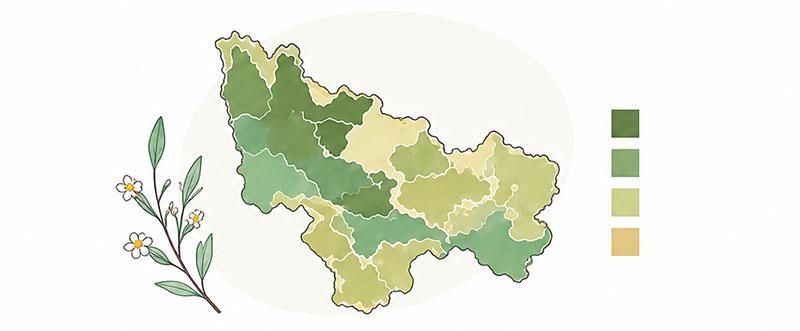
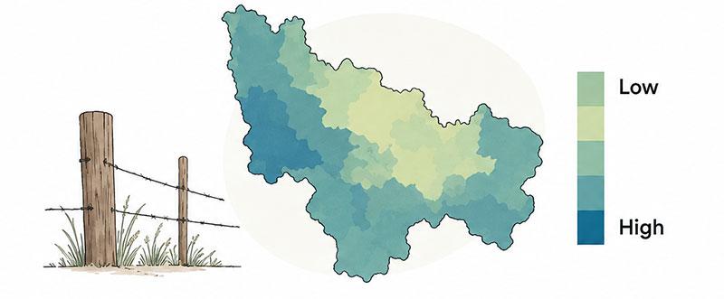
Explore Mallee vegetation, bird habitat suitability, landscape condition and grazing pressure across the “Living Landscapes” case study region.
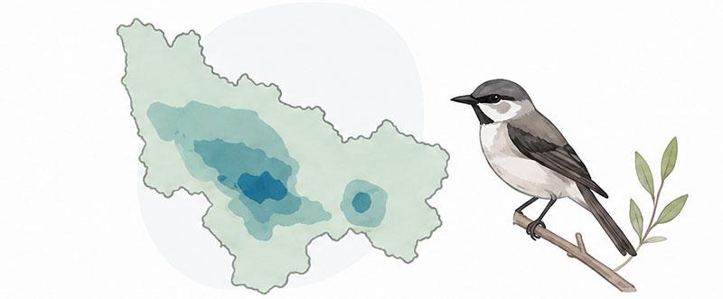
Explore habitat suitability maps for Mallee bird species.
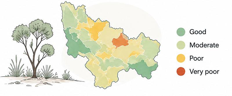
Explore mapped landscape condition states across the Mallee region.
Improving biodiversity in working agricultural landscapes
The project is investigating how changes to fertiliser and grazing management may help agricultural ecosystems transition to higher biodiversity condition states.
Research is taking place across approximately 10–12 farms in each of three regions:
The research compares paddocks with different histories of fertiliser use and grazing management. It measures ecosystem condition and biodiversity indicators, including plants, selected invertebrate groups, bats, birds and soils.
The findings will be used to update and validate regionally specific state-and-transition models and develop:
How the research supports conservation action
The project’s models, reports and interactive maps will help land managers and decision-makers understand how management affects biodiversity and ecosystem condition.
The research can support:
By linking management actions with ecological outcomes, the project will support better conservation and sustainable agriculture decisions.




Report
September 2026
State and transition models for Mallee Woodlands of the Murray Darling Depression of south-east Australia
Maisey, Alex; Richards, Anna E.; de Oliveira Anderson, Rodolfo Cesar; Stubbs, Wendy; Reid, Nick; L. Boulton, Rebecca; et al. (2026). State and transition models for Mallee Woodlands of the Murray Darling Depression of south-east Australia. La Trobe. Report. https://doi.org/10.26181/32969429.v1
Report
September 2026
State-and-transition models of the agricultural zone: flooding red gum woodland, lowland resprouting woodland and sedgelands
Maisey, Alex; Radford, James (2026). Limestone Coast state-and-transition models of the agricultural zone: flooding red gum woodland, lowland resprouting woodland and sedgelands. La Trobe. Report. https://doi.org/10.26181/32969768.v1
Info Sheet
October 2024
Restoring landscape resilience: Safeguarding mallee birds and their habitats from compounding threats (Fact sheet)
Radford, J., Reid, N., Richards, A., Stubbs, W., Boulton, R., Hansen, N., Maisey, A., (2024) Restoring landscape resilience: Safeguarding mallee birds and their habitats from compounding threats Fact Sheet for the Resilient Landscapes Hub of the Australian Government’s National Environmental Science Program. La Trobe University.
Project leader
The project is led by Associate Professor Jim Radford from La Trobe University and Professor Vanessa Adams from University of Tasmania.
Contact
For further information, contact J.Radford@latrobe.edu.au, vm.adams@utas.edu.au or nesplandscapes@uwa.edu.au.
Research users
Mallee Bird Ecological Community
Agricultural landscapes
People
Research Executive Committee and Southern Node Leader
University of Tasmania