
Brendan Mackey
Key Researcher
Griffith University
Project start date: 01/07/2024
Project end date: 30/06/2027
NESP funding: $1,474,733 (GST-exclusive)
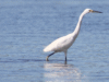
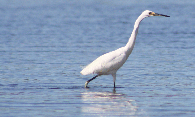
Climate change is escalating the risks to threatened species and ecosystems across Australia. Warming temperatures and changing rainfall patterns pose threats in themselves and may also exacerbate the risks from other threats such as feral animals, weeds and development pressures. In coastal regions, sea-level rise is changing coastal processes and damaging habitat.
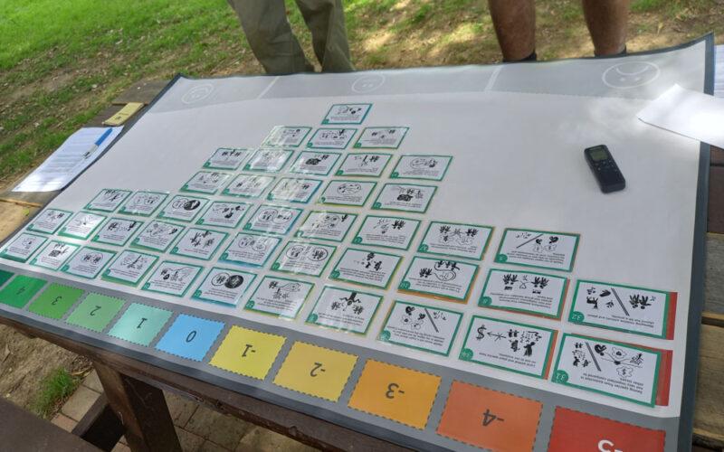
Under such complex scenarios, stakeholders and decision-makers need data, information and tools to ensure that adaptation strategies and actions are appropriate and effective. To be successful, strategies and actions must be accepted by the community and be culturally appropriate, and be informed by local knowledge, including Traditional Knowledge.

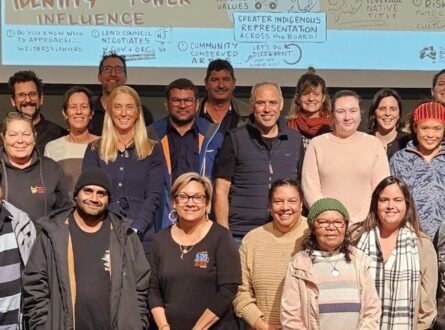
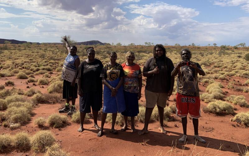
Jagun River Custodians and Heal the Rivers team members at Balun / Richmond River. Photo: Jagun Alliance.
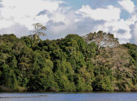
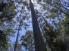
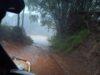
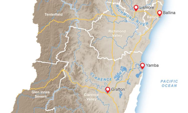
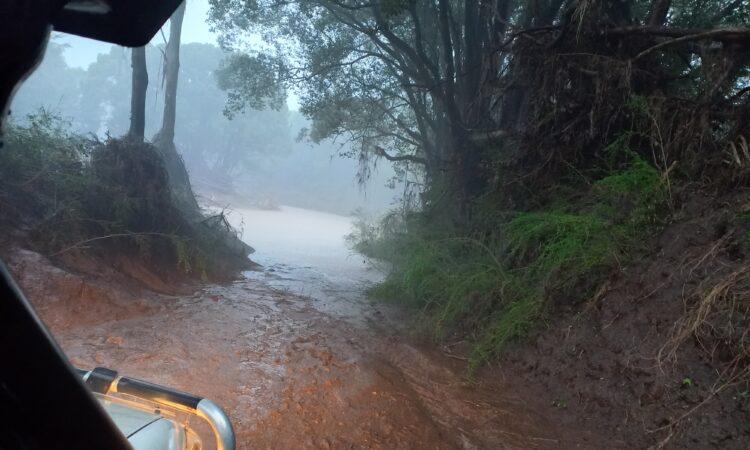
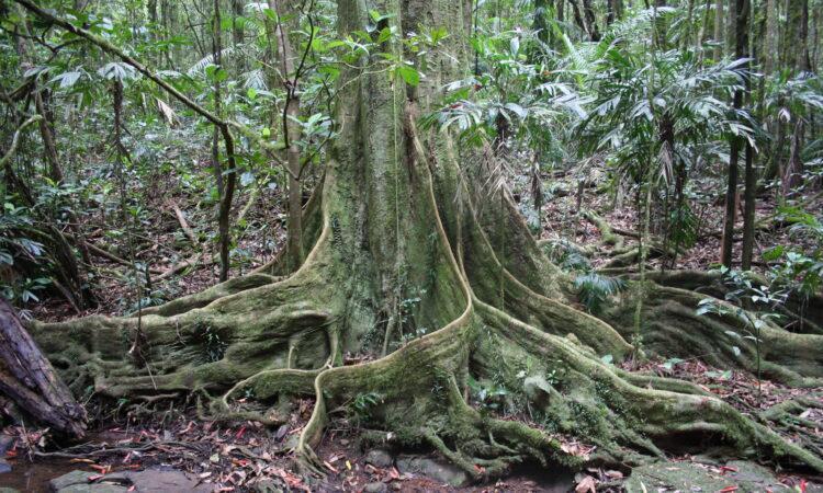
This project is developing climate change adaptation plans for the Northern Rivers region of New South Wales and the Wet Tropics of Queensland. Both regions are home to many threatened species and ecological communities and contain a diverse range of land uses and protected areas, including significant wetlands, national parks, World Heritage Areas, Indigenous Protected Areas and Indigenous Land Use Agreements. They are also places of rapid change: in a 3-year period in the Northern Rivers region, unprecedented drought was followed by bushfires and floods in rapid succession.
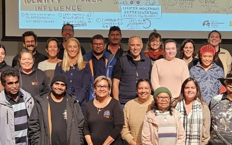
In each region, researchers will work with local community groups, Indigenous organisations, NRM groups and government agencies to design adaptation plans that can be embedded in planning and conservation initiatives. The plans will identify key climate risks for selected species and ecosystems and develop feasible strategies and options to manage these risks.
Adapting to the conservation challenges posed by climate change is a problem facing all landscapes and communities throughout Australia. The Northern Rivers and Wet Tropics regions provide case studies where approaches and tools can be developed that are transferable to other regions.

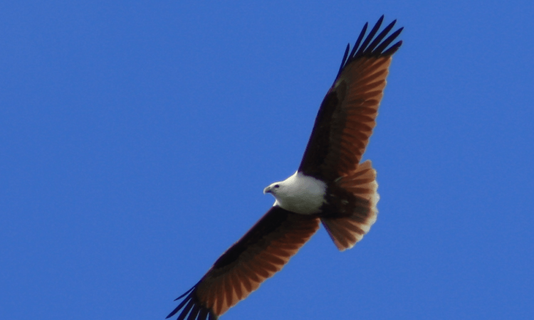
The southern cassowary is affected by extreme weather events. Photo: Michael Douglas.
Key research areas
To assist local communities to develop adaptation plans for focal threatened species and ecosystems, this project will:
Pathway to impact
The research will assist communities to build the climate resilience of threatened species and ecosystems within their regions by:
PhD supported research
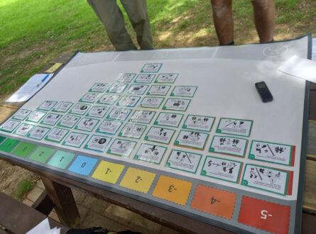
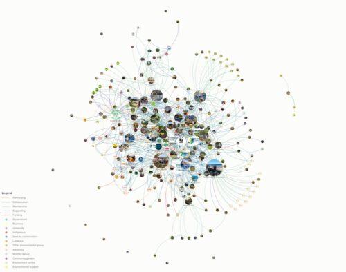
Throughout 2024 and 2025, PhD candidate Naomi Ploos van Amstel explored the Northern Rivers environmental community, including the groups involved in biodiversity conservation, how they are connected, the work they do, and their challenges and priorities. These outputs support the project’s community-centred approach to adaptation planning. Here is a summary of the results.
The project will identify priority species and ecosystems, assess current and future climate-related risks, and develop feasible adaptation strategies and options. These outputs will be shared through Adapt Land & Sea, a decision-support and knowledge-sharing platform that will provide data, maps, guidance and tools to support climate adaptation planning and action.


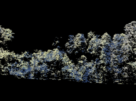
Scientific Paper
October 2025 | Open Access
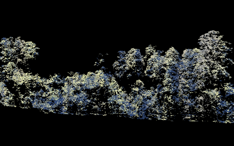
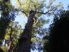
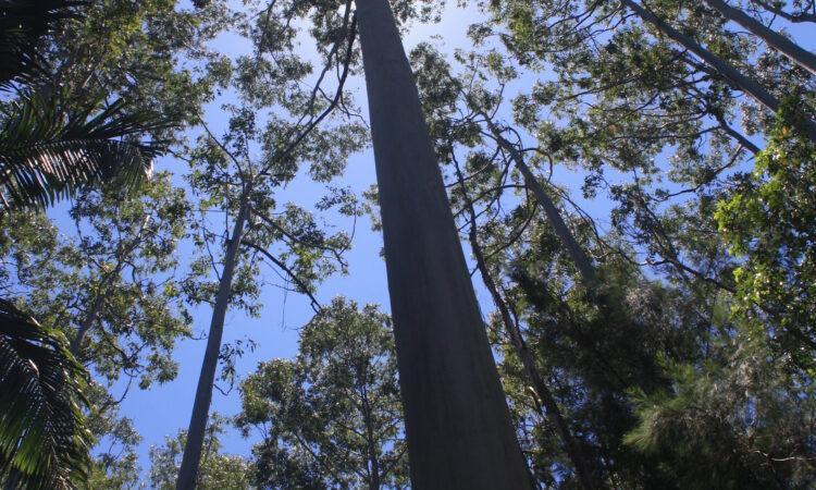
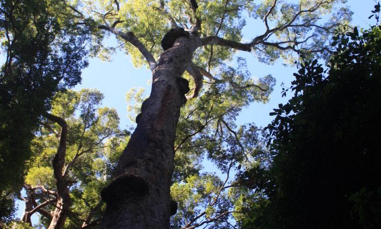
Landscape-wide modelling of canopy tree crowns and heights using LiDAR
Norman P., Bhatt T. R., Wraith J., Mackey B. (2025) Landscape-wide modelling of canopy tree crowns and heights using LiDAR: a case study in the Northern Rivers of New South Wales, Australia. Australian Journal of Botany 73, BT25031.
https://doi.org/10.1071/BT25031
Info Sheet
September 2025
Climate-resilient Landscapes (info sheet)
Report
November 2024
Resilient Landscapes Hub 2023 Annual Progress Report
Info Sheet
May 2024
Climate-resilient landscapes: an adaptation case study in NSW’s Northern Rivers region aquatic species (Fact sheet)
Mackey, B., Costello, O. (2024) Climate-resilient landscapes: an adaptation case study in NSW’s Northern Rivers region Aquatic Species Fact Sheet for the Resilient Landscapes Hub of the Australian Government’s National Environmental Science Program. Griffith University.
Info Sheet
May 2024
Climate-resilient landscapes: an adaptation case study in NSW’s Northern Rivers region project (Fact sheet)
Mackey, B., Costello, O. (2024) Climate-resilient landscapes: an adaptation case study in NSW’s Northern Rivers region Fact Sheet for the Resilient Landscapes Hub of the Australian Government’s National Environmental Science Program. Griffith University.
Project leader
The project is being led by Professor Brendan Mackey from Griffith University and Oliver Costello from the Jagun Alliance Aboriginal Corporation and Associate Professor Diane Jarvis from James Cook University.
Contact
For further information, contact b.mackey@griffith.edu.au, oli@jagunalliance.org.au, diane.jarvis1@jcu.edu.au or nesplandscapes@uwa.edu.au.
Research users
People
Research Executive Committee and Northern Node Leader
James Cook University
Senior Research Assistant
Griffith University