Dave Crook
Charles Darwin University
Keywords: fish, Magela Creek, Ranger Uranium Mine, Kakadu National Park, connectivity, ecological connectivity, groundwater, groundwater contamination, mining, environmental monitoring, barramundi, threatening processes, wetlands, KNP, Parks Australia, eFlows, environmental flows, rehabilitation, telemetry, acoustic telemetry, fish tracking, Associate Professor David Crook, Associate Professor Dave Crook, CDU, Charles Darwin University, SSB, Supervising Scientist Branch
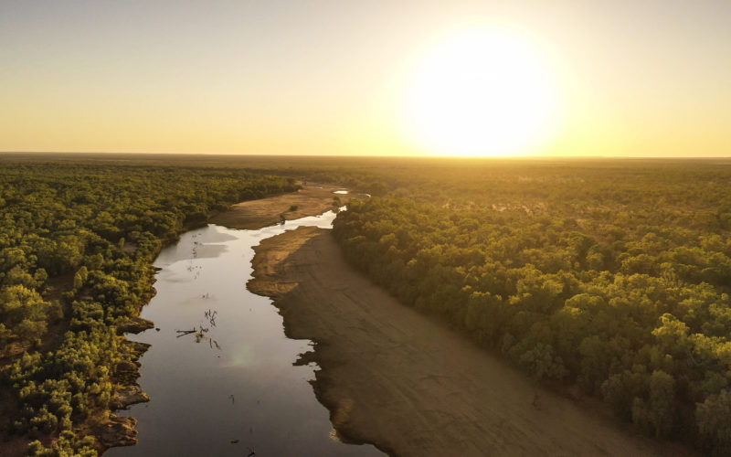
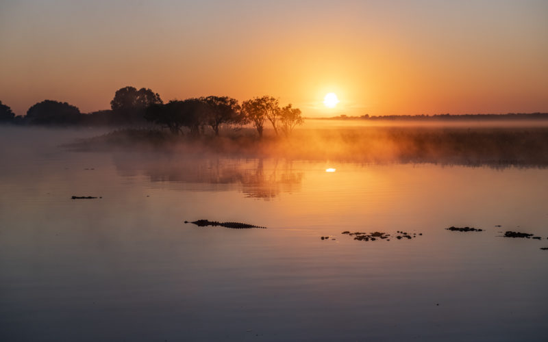
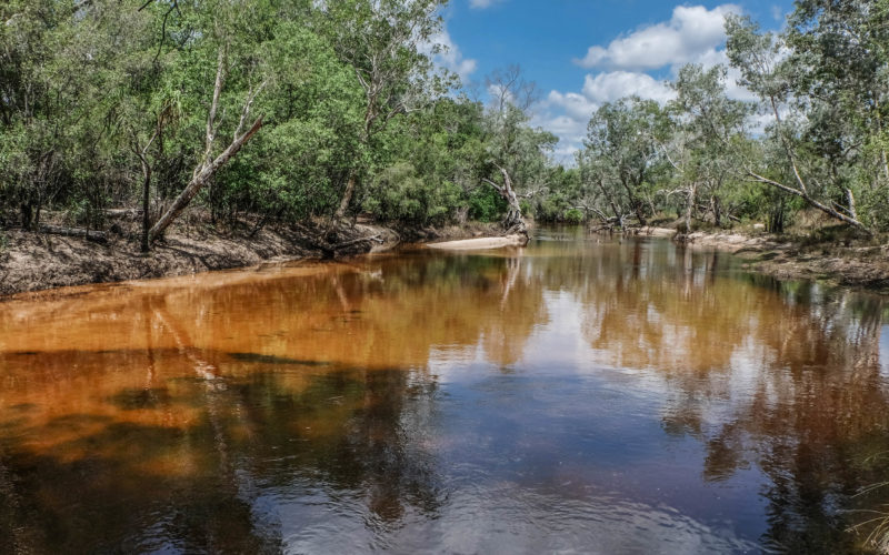
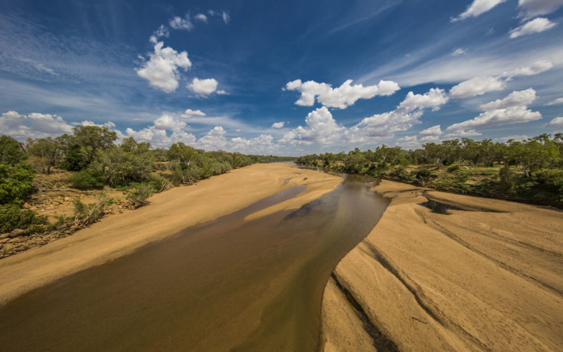
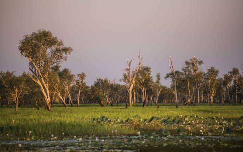
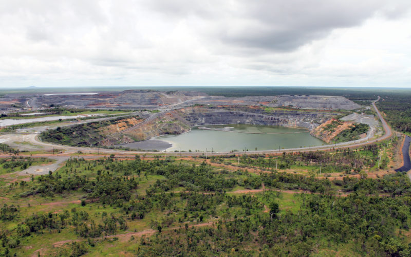
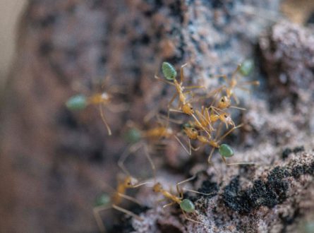
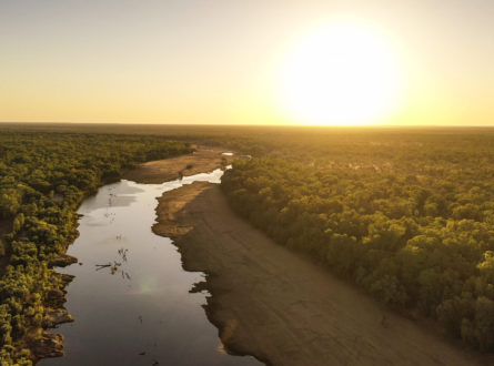
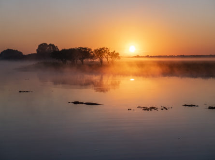
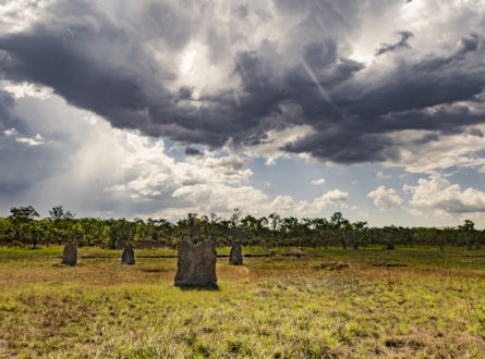
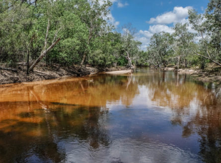
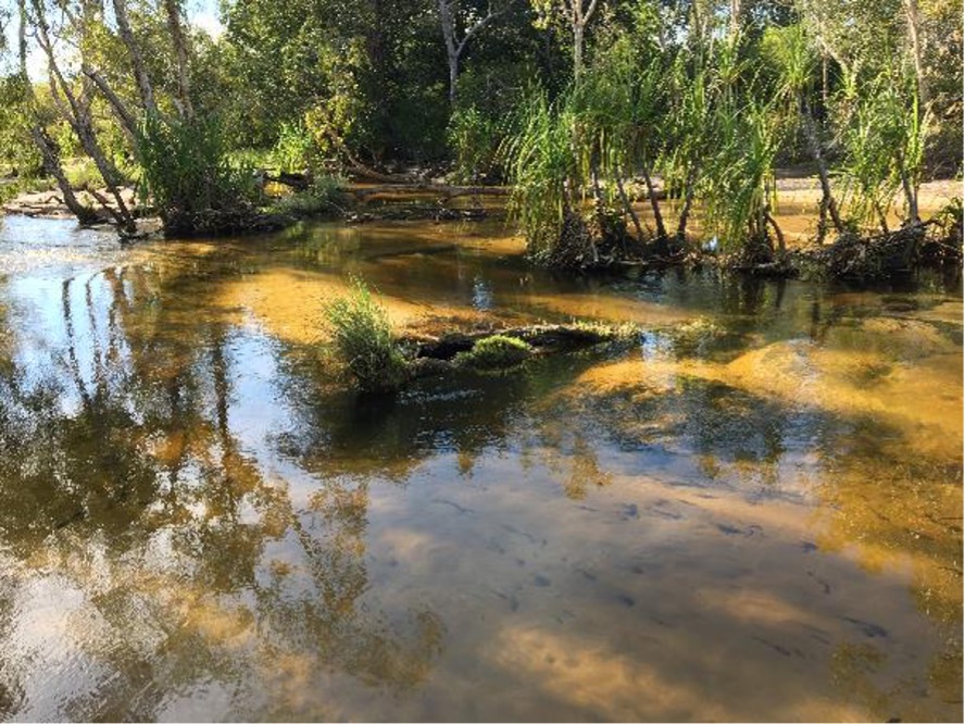
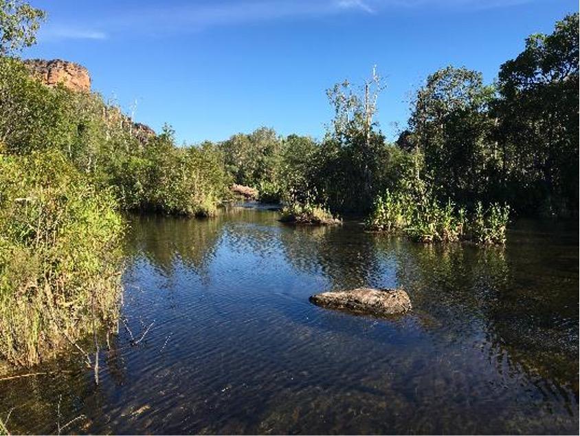
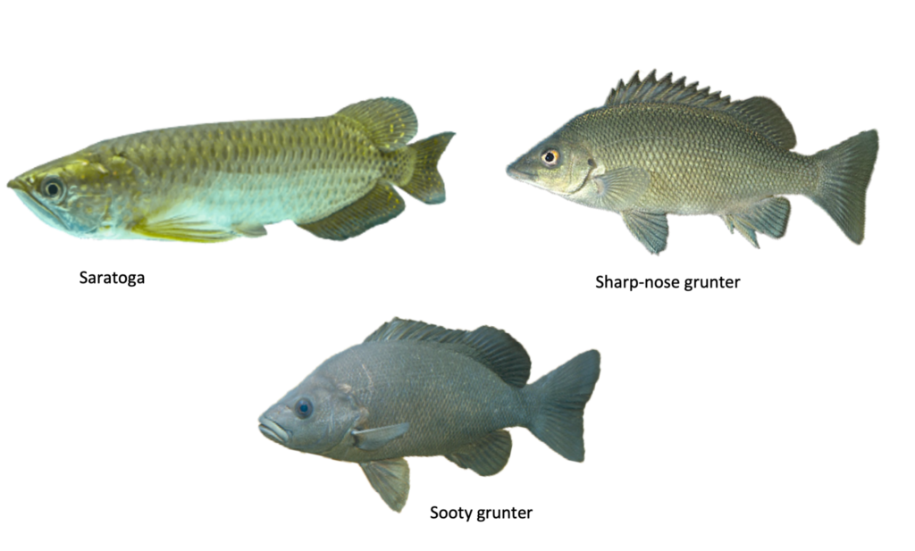
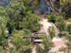
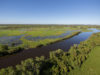
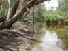
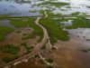
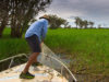
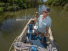
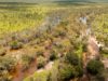
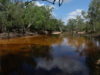
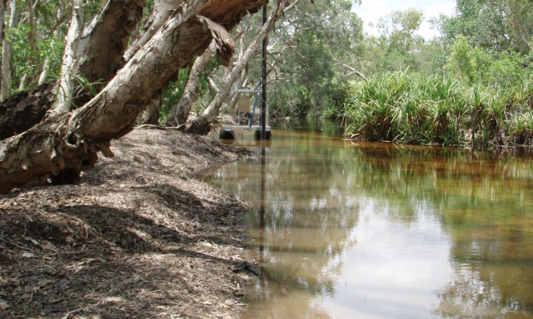
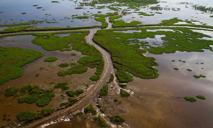
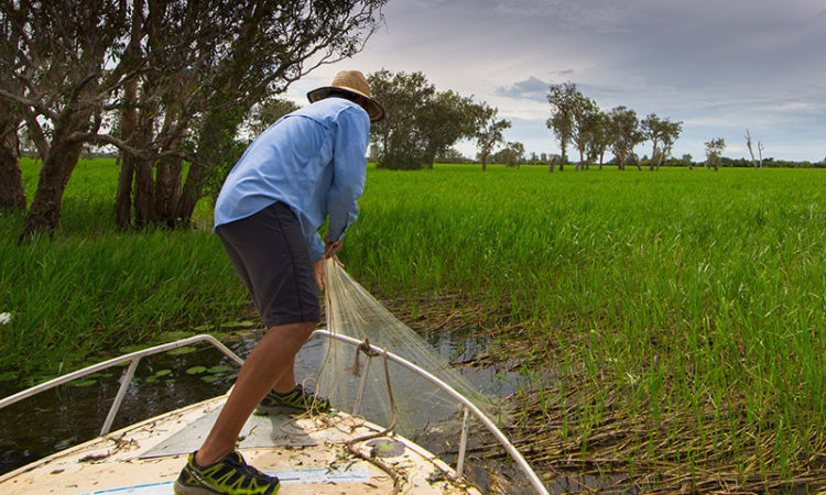
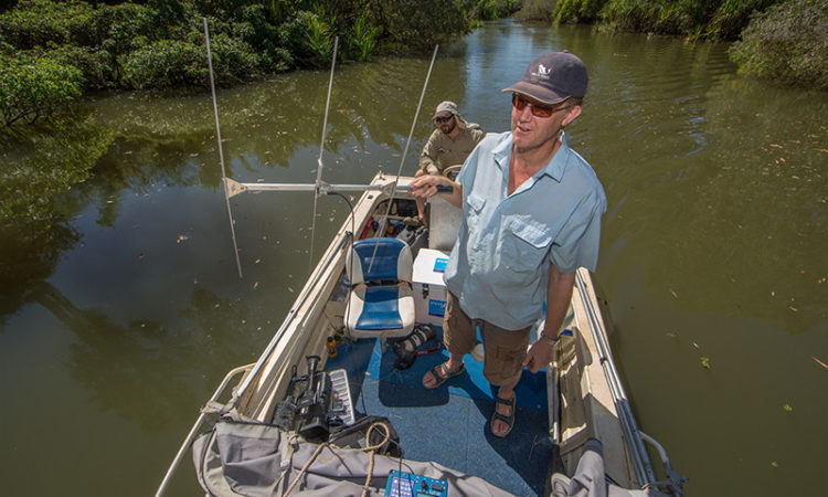
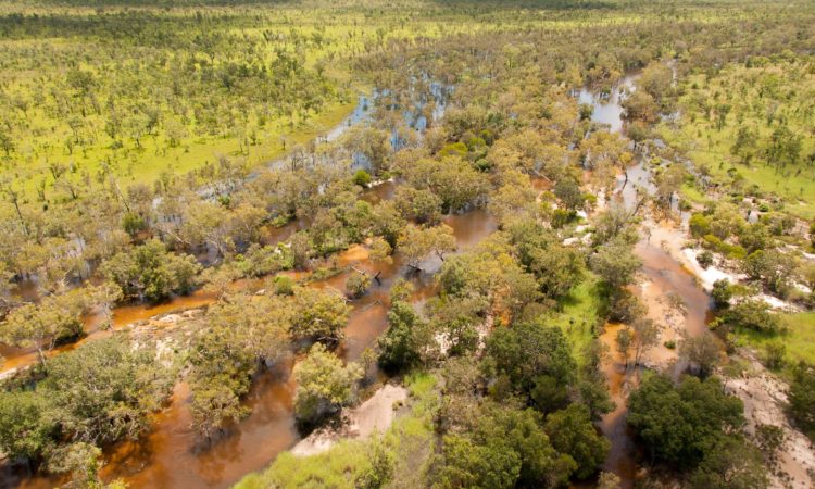
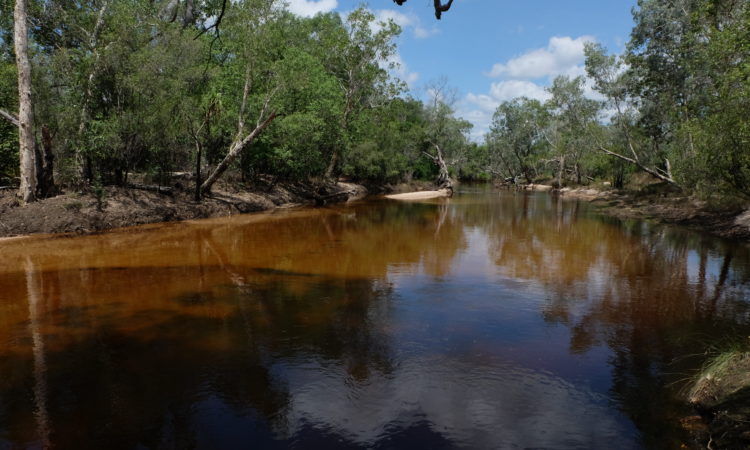
Flowing through the Ranger uranium mine lease and into Kakadu National Park, Magela Creek is home to important populations of native fish species that need to be able to move between the river, floodplain and escarpment country at different times of the year.
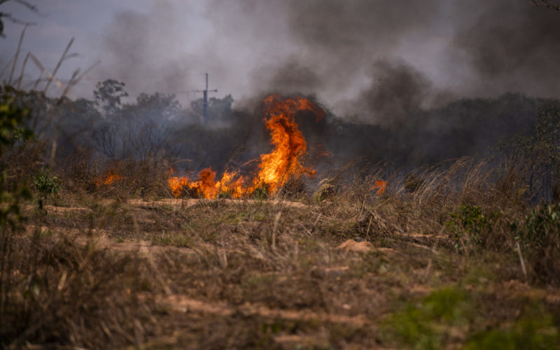
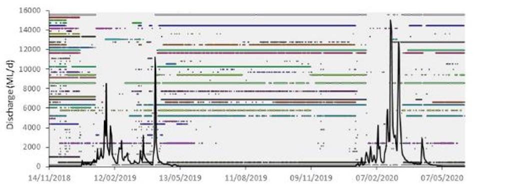
Weathering of waste rock from the mine releases contaminants, including magnesium sulfate, a salt. These contaminants are washed out by the rain and are predicted to move through the local groundwater towards Magela Creek. Depending on the concentration, the magnesium sulfate has the potential to affect fish, trees and other freshwater ecosystems in and near Magela Creek downstream from the Ranger mine site.
There were two main parts of the project.
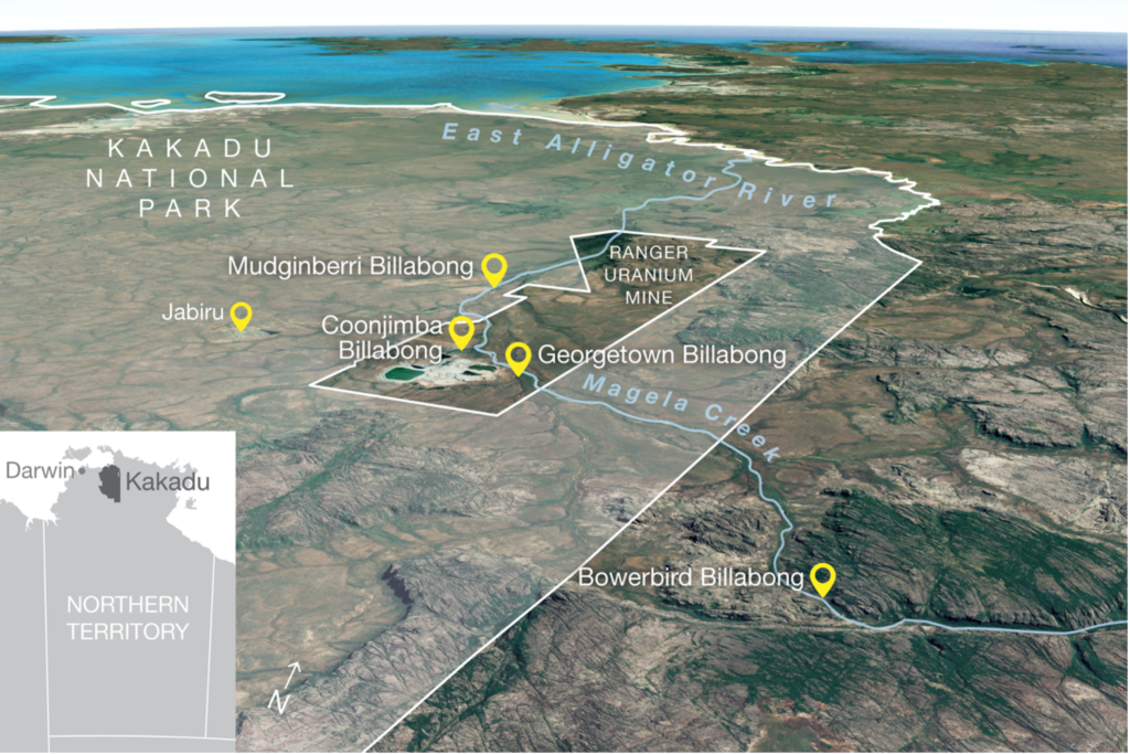
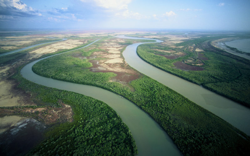
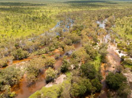
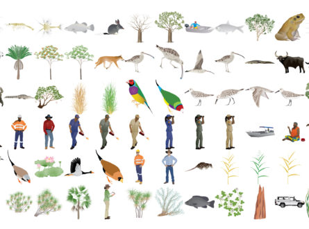
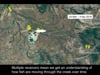
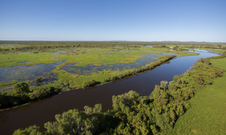
Location of Kakadu National Park, Magela Creek, Ranger uranium mine and the four billabongs where fish were collected, tagged and detected.
Scientific Paper
January 2023 | Open Access
Evaluation and refinement of a fish movement model for a tropical Australian stream subject to mine contaminant egress (scientific paper)
Crook DA, Wedd D, Adair BJ, Mooney TJ, Harford AJ, Humphrey CL, Morrongielo JR and King AJ (2023) ‘Evaluation and refinement of a fish movement model for a tropical Australian stream subject to mine contaminant egress’, Environmental Biology of Fishes, https://doi.org/10.1007/s10641-022-01381-y
Report
July 2022
Northern Hub Final Report 2021
Northern Australia Environmental Resources Hub. 2021. Northern Australia Environmental Resources Hub Final Report. Charles Darwin University, Darwin.
Report
November 2021
Fish migration in Magela Creek and potential impacts of mining-related solutes (final report)
Crook D, Wedd D, Adair B, King A, Mooney T, Harford A and Humphrey C (2021) Fish migration in Magela Creek and potential impacts of mining-related solutes. Charles Darwin University, Darwin.
Video
October 2021
Fish movement and sensitivity to contaminated mine water (impact video)
Video
August 2021
NESP Northern Hub wrap-up video
Impact Storie
May 2021
Engagement is a two-way street: Creating symbols for science communication (impact story 2020)
Other
March 2021
More Than Words (CSIRO Double Helix article Jan 2021)
Impact Storie
October 2020
Filling knowledge gaps for the rehabilitation of Ranger uranium mine (impact story 2019)
Info Sheet
September 2019
Fish movement and sensitivity to contaminated mine water (project update August 2019)
Video
August 2019
Fish movement and sensitivity (video Aug 2019)
Info Sheet
July 2018
Fish movement and sensitivity to contaminated mine water (start-up factsheet)
Other
May 2017
Top End research overview (brochure Jun 2018)
This project is being led by Associate Professor David Crook from Charles Darwin University (CDU). A/Prof Crook is being assisted by researchers from CDU and the Supervising Scientist Branch of the Department of Agriculture, Water and the Environment.
This project is due for completion in June 2021.
Contact
David Crook, Charles Darwin University
david.crook@cdu.edu.au
![]()
![]()
Charles Darwin University
Charles Darwin University
Charles Darwin University
Charles Darwin University