Skip to main content
Skip to main menu
Login
Search...
About
Projects
Products and Publications
News
Contact
Search...
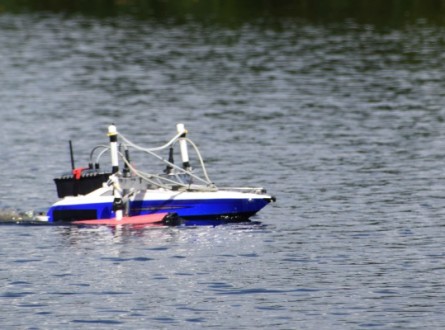
Remote environmental monitoring in northern Australia (impact story)
Home
/
Products and Publications
/
Publications
/
Remote environmental monitoring in northern Australia (impact story)
Impact Storie
October 2018
Download PDF
View Fullscreen
Skip to PDF content
Related Projects
Remote environmental monitoring techniques
BACK TO TOP
Close
Login
Username:
Password:
Remember Me