Ro Hill
CSIRO
25 October 2018
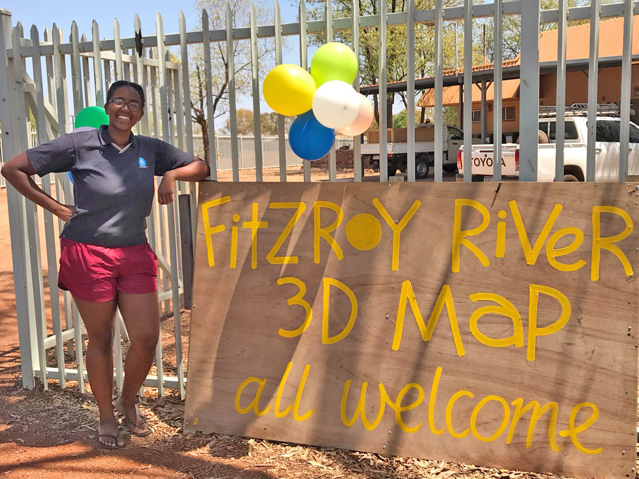
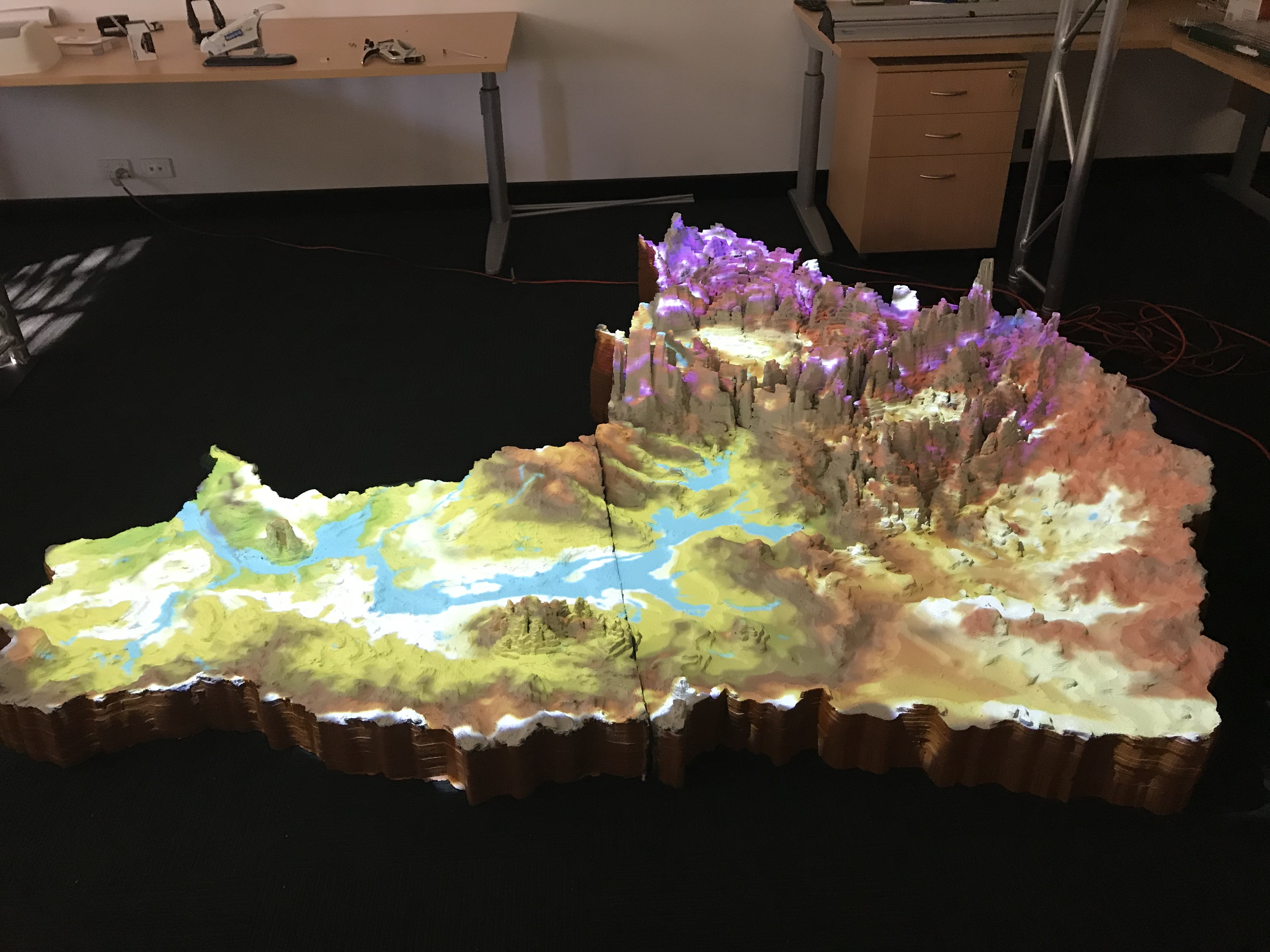
A 3D map of WA’s Fitzroy River catchment has been travelling through the Kimberley, inspiring conversations around the river’s future and engagement in development decision-making.
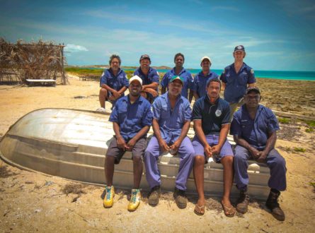
Communities in Fitzroy Crossing, Halls Creek and Derby have had opportunities to show and share their knowledge by interacting with the enormous map, co-developed with the leadership of team member Nat Raisbeck-Brown, as part of a Hub project led by Rosemary Hill (CSIRO) and Ricky Archer (NAILSMA). The conversations build on previous workshops (see this video), where mapping of influences of various stakeholders along the Fitzroy River, facilitated by team member Pethie Lyons, triggered many discussions. The workshop participants suggested the road trip!
In Fitzroy Crossing for example, team member Rachel Buissereth, supported by Traditional Owners Mary Aiken and Marmingee Hand, stimulated high school students to explore concepts around water flow, water rights, and the various types of development that exist along the river, while younger students spoke about their favourite places and fish. The map also travelled to the 40th Anniversary AGM of the Kimberley Land Council, with the different graphical data projected on the 3D surface attracting keen interest from all age groups among the 500 plus participants – watch this video of kids working with the model. At Mowanjum and Derby High School, Traditional Owner Gordon Smith facilitated knowledge sharing and excitement about the River. The 3D and influence mapping of Fitzroy Catchment, will be a signature case study in the Our Knowledge Our Way guidelines, the major project output being led by Emma Woodward.
As the map travels around the catchment it will continue to evolve and facilitate knowledge sharing as Traditional Owners exchange and request information and continue discussions about what’s important to them. We would like to thank and acknowledge the Traditional Owners for their wonderful partnerships in this project: Bunuba Dawangarri Aboriginal Corporation; Gooniyandi Aboriginal Corporation; Jaru Claimant Group; Kija Claimant Group (including Ngarrawarnji, Malarngowem, and Yurriyangem Taam Claimant Sub-Groups; Tiya-Tiya Aboriginal Corporation; Walalakoo Aboriginal Corporation; Warrwa Claimant Group; Wilinggin Aboriginal Corporation; Yi-Martuwarra/Yanunijarra Aboriginal Corporation; Yungngora Aboriginal Corporation.
CSIRO
CSIRO
CSIRO
NAILSMA
Want to know more about the Resilient Landscapes Hub's activities and our research into practical solutions to environmental problems? Stay informed about activities, research, publications, events and more through the Hub newsletter.
"*" indicates required fields