12 November 2018
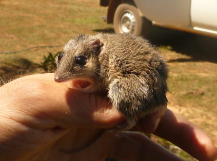
Northern Australia’s unique and rich biodiversity faces numerous threats but we have limited knowledge on the distribution of rare and threatened species and on how exposed and sensitive they are to various threatening processes. This Hub project, led by Dr Anna Pintor of James Cook University, is filling these knowledge gaps with maps and sensitivity assessments that will guide land and water management, policy and assessments. This research has so far generated maps of rare and threatened species distributions, hotspot maps showing concentrations of rare and threatened species, maps of the main threatening processes in northern Australia, and expert estimations of species’ sensitivity to threats. Read all about the latest research update here.
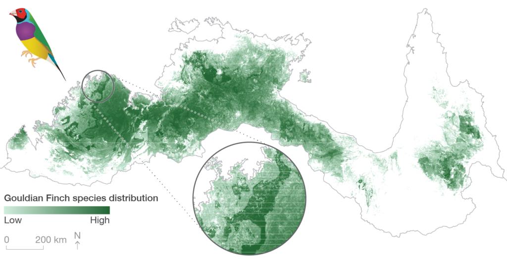
Example of a species distribution map – vetted habitat suitability for the Gouldian Finch (Erythrura gouldiae) across northern Australia.
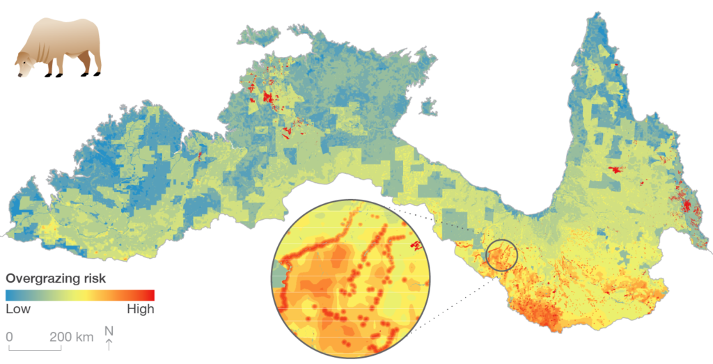
Overgrazing risk across northern Australia based on potential pasture growth, current land use and certainty of matching stocking rates to pasture growth rates across years (i.e. interannual variability).
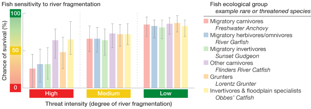
Expert estimation of the sensitivity of freshwater fish ecological groups to the threat of river fragmentation caused by water infrastructure (e.g. dams and weirs).
Want to know more about the Resilient Landscapes Hub's activities and our research into practical solutions to environmental problems? Stay informed about activities, research, publications, events and more through the Hub newsletter.
"*" indicates required fields