30 April 2020
Northern Australia’s rich and unique biodiversity faces many threats including weeds, feral animals and inappropriate fire regimes.

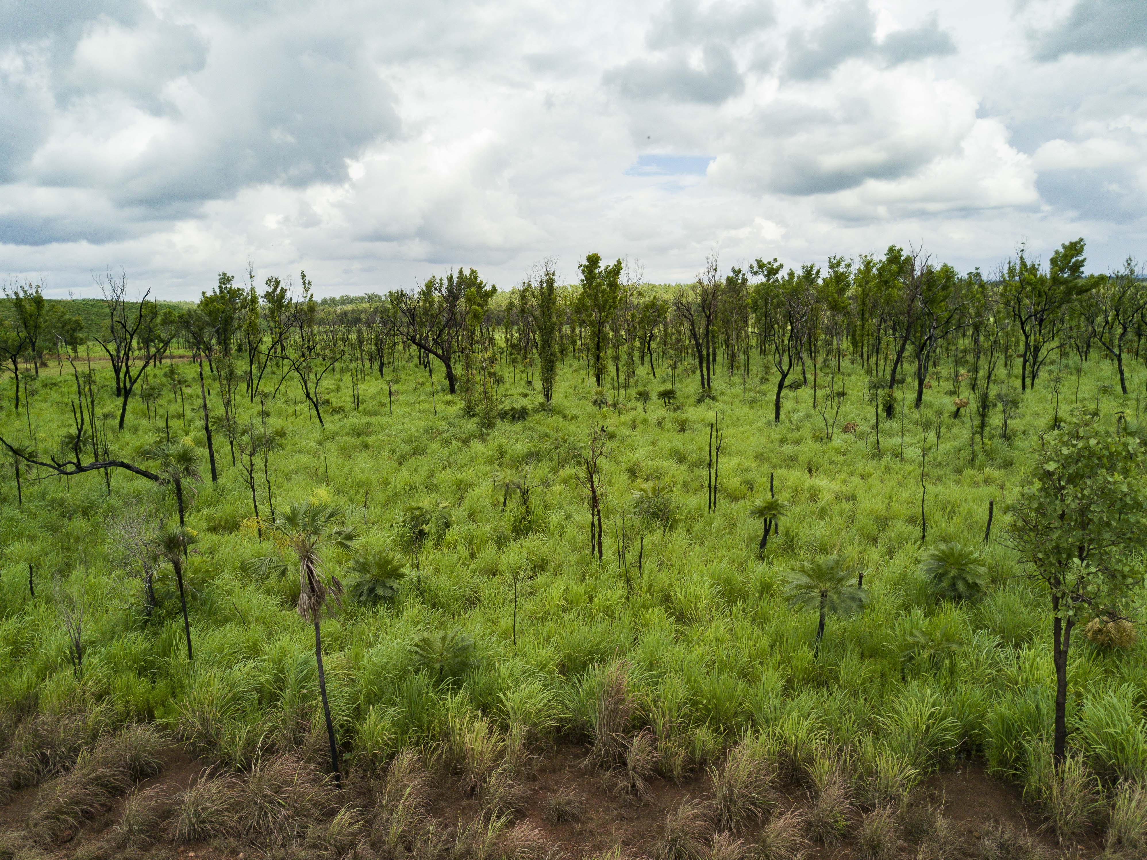
Gamba grass is a weed that can transform native savanna habitats for threatened species in northern Australia.
Knowledge gaps around where threatened species are located and their sensitivity and exposure to various threats can limit the effectiveness of conservation actions and create uncertainty for sustainable development in the north. Hub research aiming to address these knowledge gaps has produced spatially explicit data and maps that can be used to inform conservation policy and assessments as well as guide decision-making about how to manage or mitigate threats.
Project leaders Dr Anna Pintor (James Cook University) and Associate Professor Mark Kennard (Griffith University) have produced distribution maps for more than 1,400 species of conservation concern, hotspot maps showing species richness, and maps of key threatening processes including ~250 weed species, feral animals and wildlife diseases.

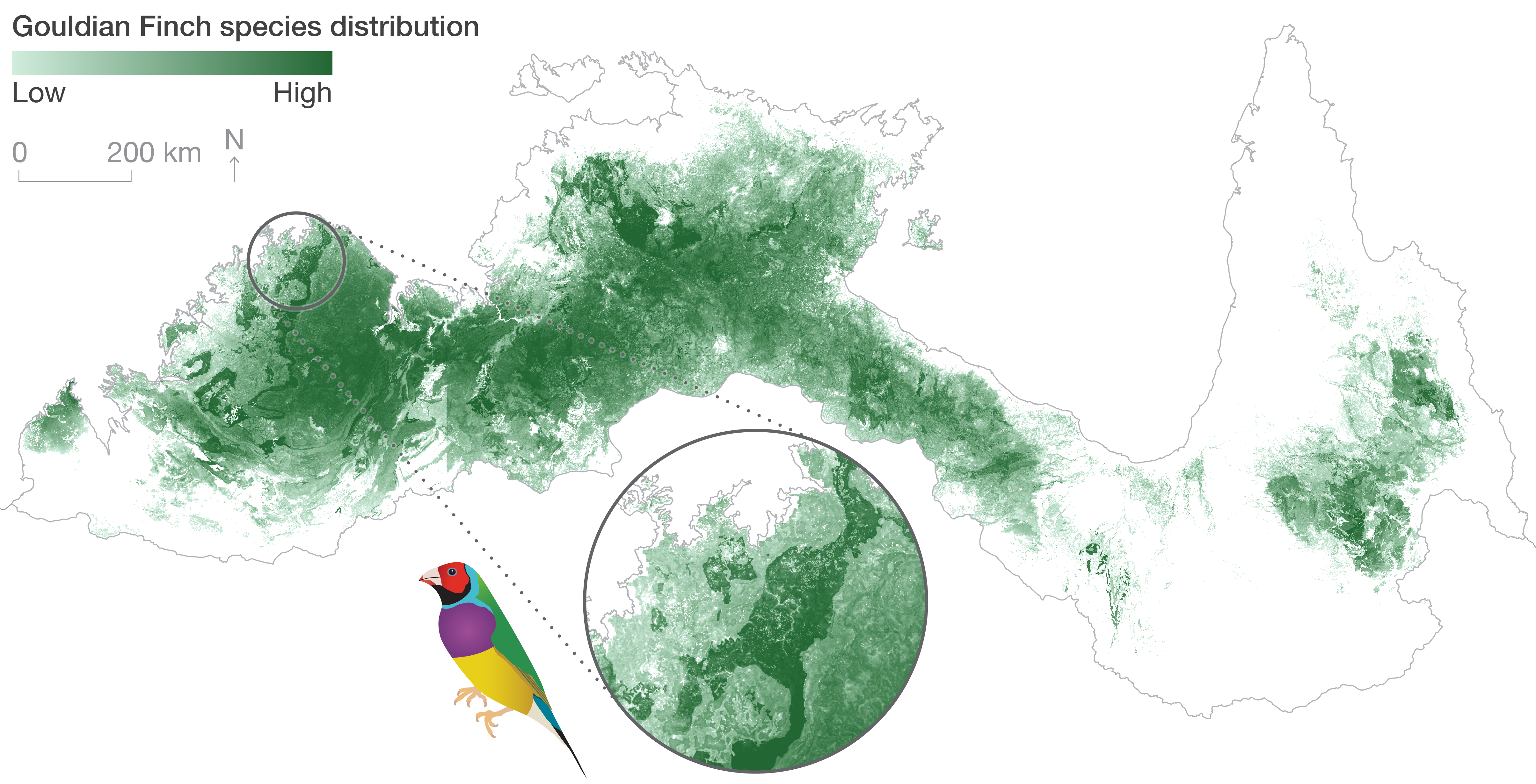
This sample map shows Gouldian Finch distribution across northern Australia.
Combining the maps of species distributions with maps of threatening processes and information on how sensitive the species are to those threats has produced maps showing areas of high vulnerability – that is, where species of conservation concern overlap with threats that they are sensitive to.
The extensive user guide has just been published and contains detailed information on how to use the data produced from this project. Please contact project leader Dr Anna Pintor for more information.
Want to know more about the Resilient Landscapes Hub's activities and our research into practical solutions to environmental problems? Stay informed about activities, research, publications, events and more through the Hub newsletter.
"*" indicates required fields