29 June 2020
A new data portal from Hub researchers will allow free access to information on more than 1400 rare, threatened and other plants and animals of conservation concern found in northern Australia.
The new portal provides access to maps of species distributions and shows where each species is most vulnerable to potential threats such as climate change, disease, changes in fire intensity, invasive species and the expansion of mining and agriculture.

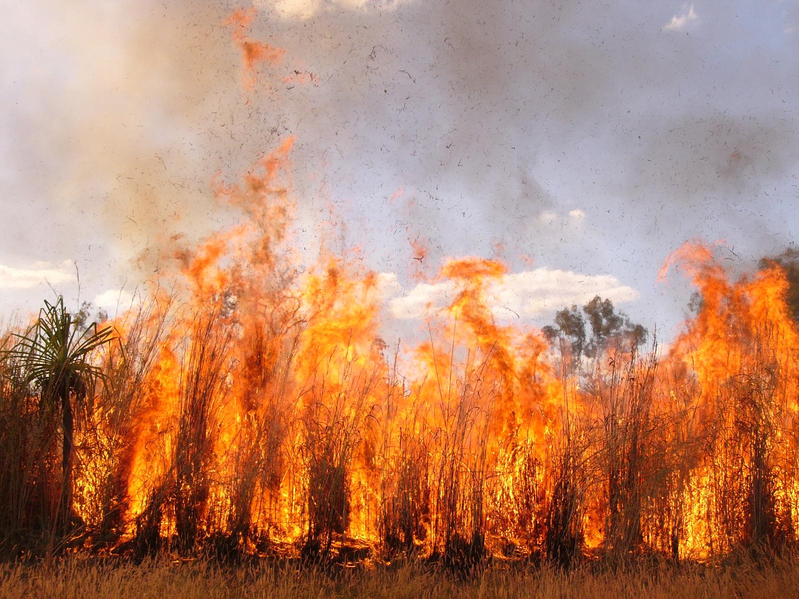
Changing fire regimes are one threat to animals in northern Australia, photo Samantha Setterfield.
The maps are a useful tool to help people visualise where these species are most at risk from one or more of the threats they face. The maps can help managers to prioritise which species need most urgent conservation management. Conversely, they can also help to show where the best opportunities for conservation exist.
– Dr Anna Pintor, Project Leader, James Cook University
Prior to the project, there was little information available for many species of conservation concern in northern Australia. With proposals for mining and agricultural development increasing across the region, this new information will assist government agencies and Indigenous land managers to make more informed decisions.

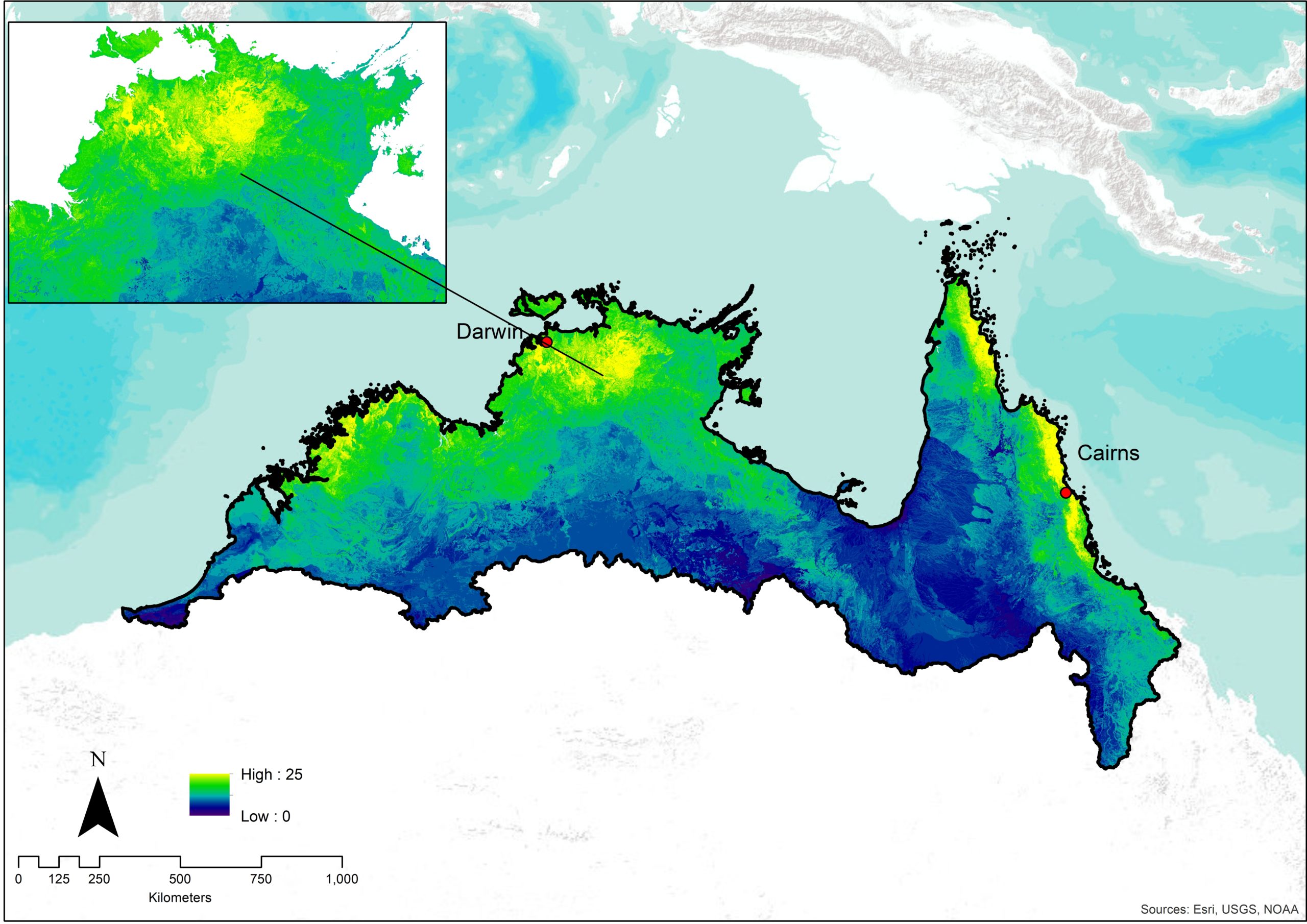
Example hotspot map showing mammal species richness across northern Australia.
The researchers used statistical models to map where there is suitable habitat for each species and where they are most vulnerable to extinction, based on their exposure and sensitivity to 11 threatening processes.
Both the data used to create the models and the maps generated from the models can be accessed via the data portal.
“The data management system has been designed so that the data and maps can be accessed in a flexible way,” said Dr Pintor.
We have also published a user guide that explains which data are available for public access and how the models and maps were constructed from the available data. Because the information for some species and threatening processes was limited, we also explain the caveats on how the data and maps should be interpreted.
– Dr Anna Pintor
Want to know more about the Resilient Landscapes Hub's activities and our research into practical solutions to environmental problems? Stay informed about activities, research, publications, events and more through the Hub newsletter.
"*" indicates required fields