26 October 2023
A lack of available funding is a constant problem plaguing environmental research. This often prevents researchers from being able collect vital environmental information and restricts their capacity to enact important on-ground conservation and restoration. To achieve the best outcomes possible for ecosystems and biodiversity, the funds that are available for environmental research need to be used as cost effectively as possible.
Hub researchers have released their final report for the Using integrated data analysis to assess regional transferability project. We’ve been investigating the ways that environmental information gathered from research in one area is transferable to another. For example, matching 2 places that have similar environments (e.g. mangroves) and similar people and communities (e.g. land tenure).
The outcomes from this project will help to increase the value of environmental research by broadening its potential applications beyond just the study region. It will also strengthen policy-making decisions by providing greater contextual information about areas being conserved.
The project focused on 2 types of regions: natural resource management (NRM) regions and Interim Biogeographic Regionalisation for Australia (IBRA) sub-regions. Hub researchers worked in collaboration with decision-makers to identify NRM or IBRA regions that shared social and ecological attributes and could therefore have conservation knowledge transferred between them.
Regional clusters that are similar to each other and planning groups that have shared traits based on the regional-planning decision tree. Click on maps to expand. Images: University of Tasmania.
The results have been captured with simple-to-interpret maps, showing areas with shared characteristics. This work will help decision-makers identify the most suitable conservation-planning approaches without the need for additional research and funding in each region.
This research means that conservation funding can be more impactful and farther reaching, and it allows natural resource managers to identify their planning peers to share knowledge and scale up interventions.

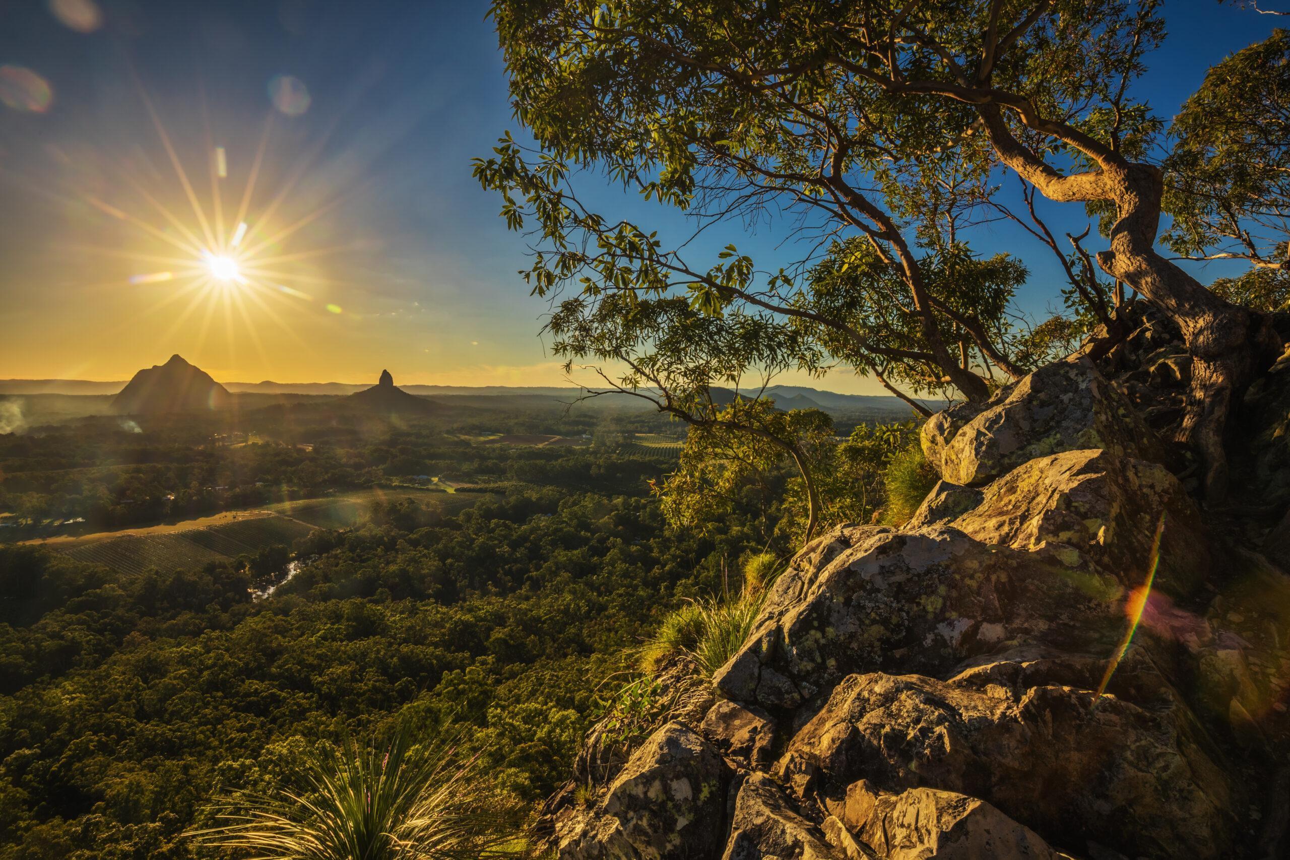
Sunset seen from Mount Tibrogargan, Glass House Mountains, Sunshine Coast, Queensland. Photo: Martin Valigursky.
Want to know more about the Resilient Landscapes Hub's activities and our research into practical solutions to environmental problems? Stay informed about activities, research, publications, events and more through the Hub newsletter.
"*" indicates required fields