7 January 2026
A new study has uncovered a powerful framework to help scientists and river managers map and monitor persistent pools — the natural waterholes that act as lifelines in rivers that usually stop flowing.
These persistent river pools, often the last remaining sources of water when rivers recede, are crucial refuges for wildlife and provide essential ecosystem services for people — from supporting biodiversity and agriculture to enabling recreation and cultural practices.
Lead author on the National Environmental Science Program (NESP) Resilient Landscapes Hub study published in the Journal of Hydrology, Dr Thiaggo Tayer from The University of Western Australia, explained the research represents a major step toward understanding the location of these important pools and how they change over time under different climate conditions.
“Persistent pools safeguard aquatic and terrestrial life during dry periods, support surrounding communities, and help rivers recover when flows return,” Dr Tayer said. “Yet despite their importance, we know surprisingly little about how they persist and where they occur.”
The new geospatial framework integrates decades of freely available satellite imagery, rainfall and river flow data to map the presence and persistence of surface water over time.
Applied in a case study of Queensland’s Gilbert River from 1986 to 2023, the method revealed that the river system has trended toward wetter conditions. The analysis showed long-term increases in rainfall and discharge have led to a greater number of larger and more persistent pools.
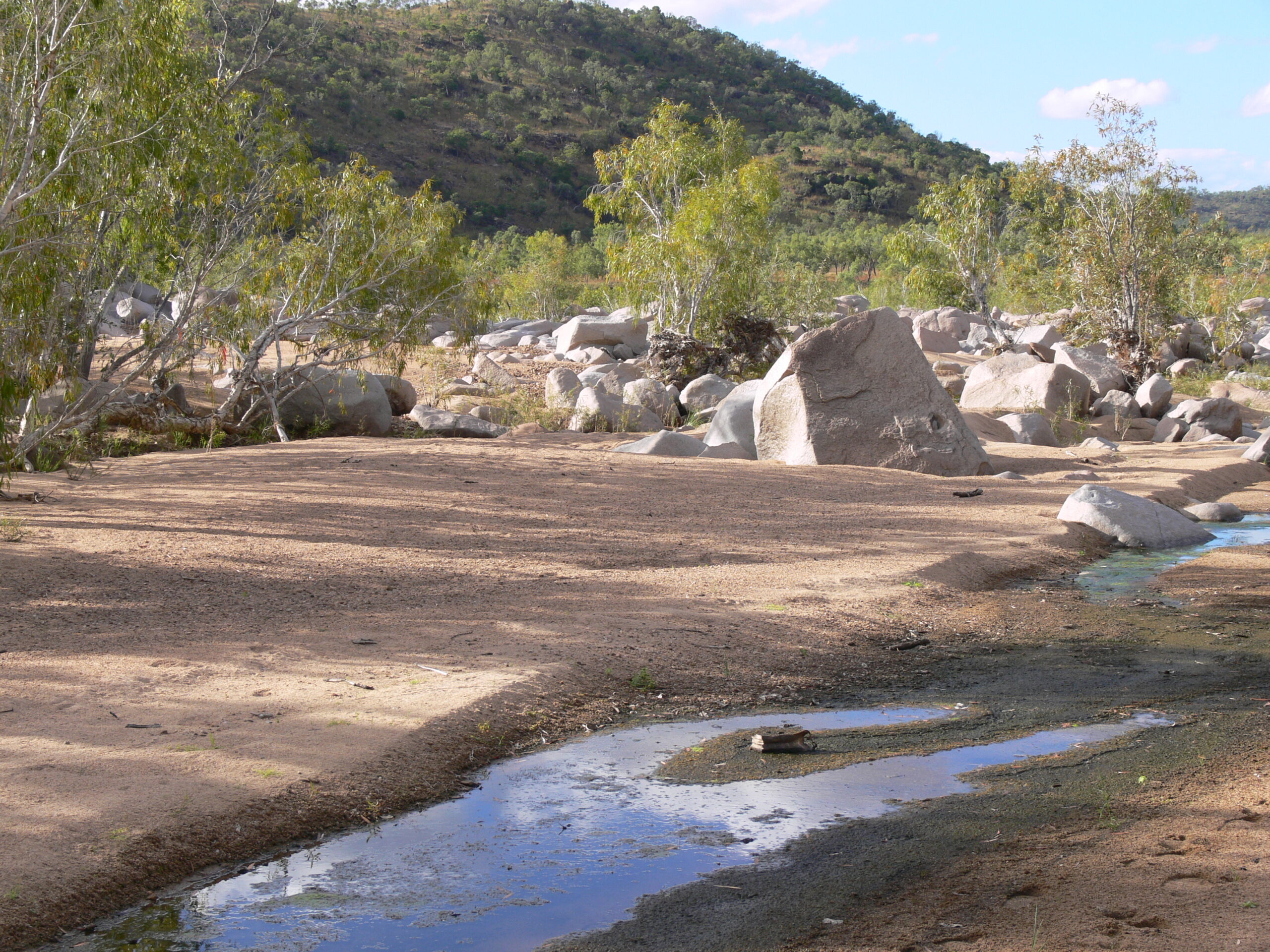
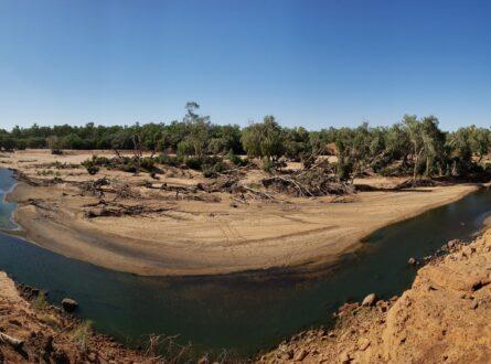
Gilbert River catchment site, North Queensland. Photo: Jonathan Marshall.
“Previous waterhole mapping has assumed they are always at the same places in the river network,” said Dr Jonathan Marshall, principal scientist for aquatic ecosystems at the Queensland Government. “However, in changeable rivers like the Gilbert used in the study waterholes move from year to year as the sandy bed of the river changes. For the first time, this new framework allows us to incorporate the concepts of shifting, dynamic waterholes into water planning considerations.”
“By harnessing open data and remote sensing, this approach offers an accessible, scalable framework for researchers and managers worldwide,” Dr Tayer said. “It can help identify critical refuges, detect long-term trends, and guide sustainable water management in the face of a changing climate and increasing hydrological variability.”
Non-perennial rivers, which flow only part of the year, make up more than half of the world’s waterways. Despite their global importance, they have historically received less scientific attention than perennial rivers. With rising temperatures, growing water demand and increasing drought risk, understanding how these systems function has become critical.
The framework not only helps track the waterholes that underpin ecological resilience but also supports community livelihoods, food production, and cultural heritage.
“As pressure on our river systems grow, protecting these pools isn’t just about conserving biodiversity, it’s about securing the future of the landscapes and people that depend on them,” Dr Tayer said.
This research demonstrates how open-access data and innovative methods can help governments, scientists, and local communities better protect Australia’s freshwater ecosystems in an era of global environmental change.
Want to know more about the Resilient Landscapes Hub's activities and our research into practical solutions to environmental problems? Stay informed about activities, research, publications, events and more through the Hub newsletter.
"*" indicates required fields