23 May 2019
Development and conservation planning in northern Australia often lacks consistent and comprehensive scientific spatial data.
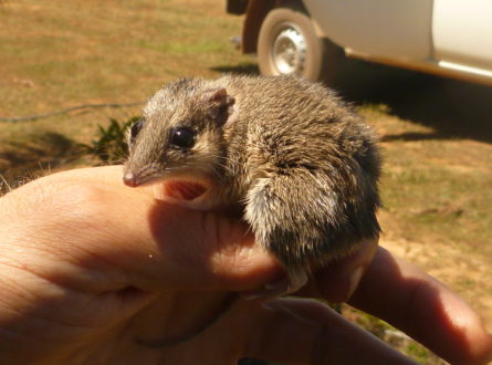
This research, led by Dr Anna Pintor at James Cook University and supported by Associate Professor Mark Kennard at Griffith University, has produced detailed maps to fill this critical knowledge gap. The team has produced maps of more than 1500 species’ distributions and 11 threatening processes and combined them with expert advice to show where species may be vulnerable to extinction.
These maps are already being integrated into government workflows to inform land use and conservation planning and management across the north.
This project was designed around end-user needs to ensure the maps and data are useful and easily integrated into workflows. For example, outputs from this project are being reviewed by the Department of Agriculture, Water and the Environment’s Environmental Resources Information Network (ERIN) group – who have been engaged with the project from the start – with a view to incorporating the data into their species distribution modelling which supports decision-making under the Environment Protection and Biodiversity Conservation Act.
Outputs from this project are already being used to aid university research and government decision-making. For example, a CSIRO project is applying the data sets to agricultural development scenarios in the Darwin region, and staff in Queensland’s Department of Environment and Science are using the spatial data layers to investigate the extent to which current Protected Areas reflect the locations of biodiversity hotspots and to identify new potential acquisitions. They plan to also use the maps to guide on-ground management activities. Universities and other research institutions are also using the maps and related analyses.
As the project wraps up, the team is looking forward to promoting the maps and data broadly to facilitate decision-making and research across northern Australia.
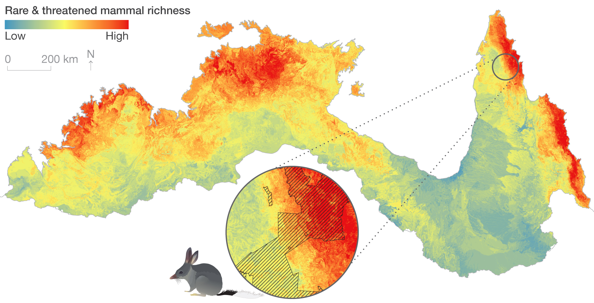
An example of one of the mapping outputs from the project.
Want to know more about the Resilient Landscapes Hub's activities and our research into practical solutions to environmental problems? Stay informed about activities, research, publications, events and more through the Hub newsletter.
"*" indicates required fields