Michele Burford
Key researcher
Griffith University
Project start date: 01/05/2022
Project end date: 30/09/2026
NESP funding: $400,443 (GST-exclusive)
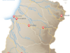
This project is using the western Cape York Peninsula and south-east Gulf of Carpentaria region as a case study to examine the relevance of existing risk-assessment frameworks and biodiversity maps for a regional approach to the Environment Protection and Biodiversity Conservation Act 1999 (EPBC Act).
To ensure biodiversity is protected, individual developments in northern Australia are currently assessed under the EPBC Act and other state planning legislation. However, there is a need to take a broader regional approach to assessing risks posed by the cumulative impacts of multiple developments.
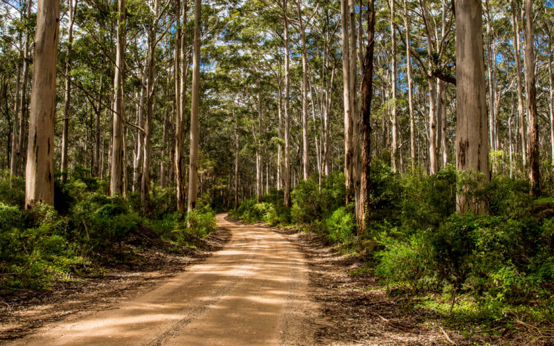
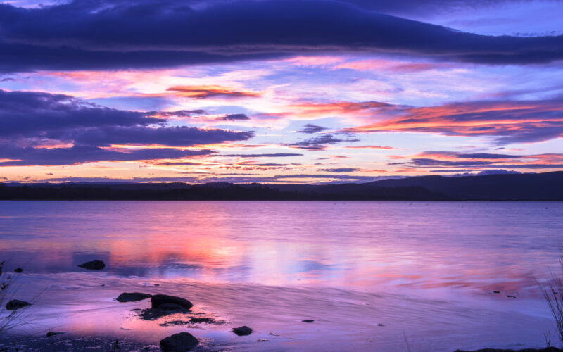
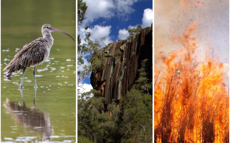
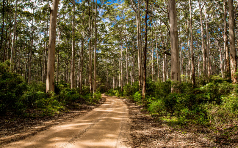
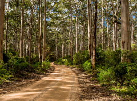
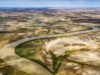
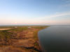
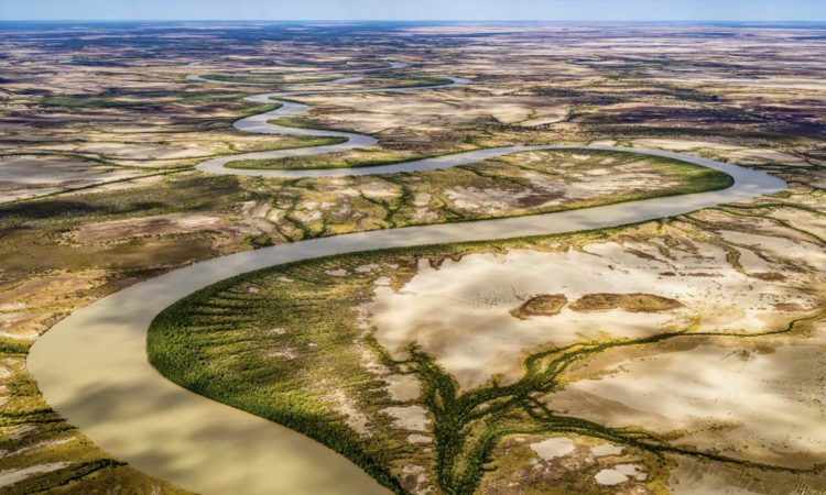
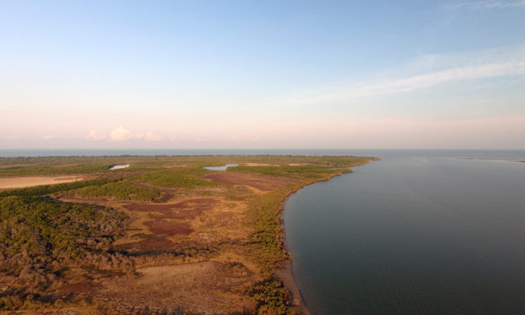
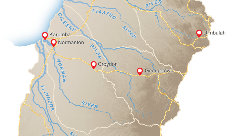
The Cape York Peninsula and southern Gulf of Carpentaria region in Queensland is area of particular interest for future development. This includes proposals for mining, and water storage and extraction for irrigated agriculture. Each of these can impact water resources, biodiversity and culturally significant locations and values.
Although the predicted impacts from individual developments may appear to be relatively minor, there is a risk that the ‘tyranny of small decisions’ could culminate in unexpected consequences for water quality, biodiversity and cultural values. This issue therefore provides a potential case study for an integrated, regional approach to identifying risks from development to environmental and cultural values.
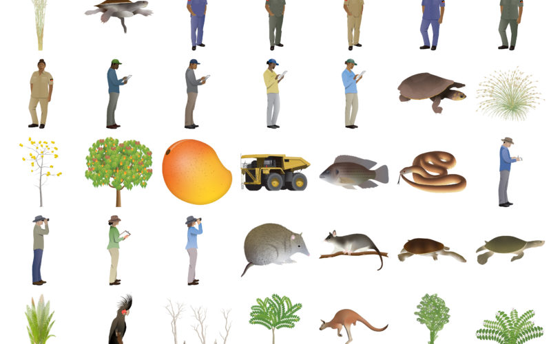
In the first phase of the project, we are focusing on compiling information that can inform or be used in a future risk-assessment process. This includes collating tools, previous research outputs and a broad range of stakeholder perspectives so that the risk-assessment process is applicable across the study region and robust in a variety of situations. Additionally, we are examining current biodiversity maps, which are based on suitable habitats, to identify biodiversity hotspots, and compare these hotspots with potential water development areas.
During the second phase we will work with a broader range of stakeholders to assess and refine the information collected in the first phase. Our team will then assess the information in the context of decadal patterns in water flows, possible future trends, and how these patterns might impact ecosystem productivity, health and cultural values over the long term.
As of October 2023, the project has been extended to include a third phase, where we will develop ecohydrological rules by integrating the research findings from phases 1 and 2, and studies in previous NESP and TRaCK projects, and others. This information will be used to inform water planning for the Gulf rivers. We will use new approaches for spatial mapping of water persistence into freely available models for water planning.
Through this project, we are providing information to improve outcomes for environmental and cultural values from the decision-making processes relevant to developments in the context of the EPBC Act and other risk-assessment schemes. We are also contributing to integrated planning and assessment work within an Australian Department of Climate Change, Energy, the Environment and Water (DCCEEW) Environment Assessments Qld contract project and linking with the Marine and Coastal Hub’s project Supporting regional planning in northern Australia.
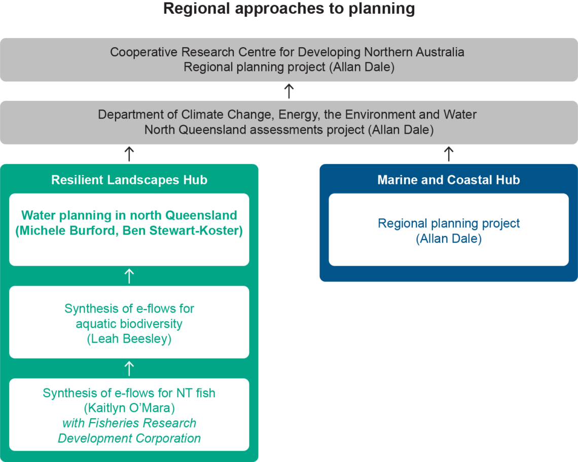
Links between regional-planning projects.
Key research areas
To address this challenge, this project aims to develop better outcomes for biodiversity and the environment by:
The area of focus is the western Cape York and south-east Gulf of Carpentaria region but the results will be more broadly applicable across northern Australia.
Pathway to impact
This research will strengthen environmental decision-making for water-resource development in northern Australia by:
The tools, models and frameworks developed here are scalable – supporting better water governance across northern Australia and beyond.
Scientific Paper
April 2026 | Open Access
A Bayesian classification model to reconstruct lifetime movement patterns of riverine fish using environmental tracers
Venarsky, M. P., Boone, E. L., Stewart-Koster, B., Crook, D. A., O’Mara, K., Woodhead, J., Maas, R., & Bunn, S. (2026). A Bayesian classification model to reconstruct lifetime movement patterns of riverine fish using environmental tracers. Methods in Ecology and Evolution, 00, 1–16. https://doi.org/10.1111/2041-210x.70297
Report
July 2025
Refactoring the iRiverMetrics algorithm
Tayer, T. Refactoring the iRiverMetrics algorithm (2025). Report to the Resilient Landscapes Hub of the Australian Government’s National Environmental Science Program. The University of Western Australia, Perth.
Scientific Paper
April 2025 | Open Access
Impacts of water resource development on tropical flow-dependent fisheries: a case study of northern Australia
O’Mara, K., Beesley, L., Kopf, R.K. et al. Impacts of water resource development on tropical flow-dependent fisheries: a case study of northern Australia. Rev Fish Biol Fisheries 35, 979–1009 (2025).
https://doi.org/10.1007/s11160-025-09944-9
Scientific Paper
January 2025 | Open Access
Tracing the movement of invasive tilapia fishes during a new invasion to inform catchment scale management strategies
O’Mara, K., Stewart-Koster, B., Marshall, J. et al. Tracing the movement of invasive tilapia fishes during a new invasion to inform catchment scale management strategies. Biol Invasions 27, 58 (2025). https://doi.org/10.1007/s10530-024-03528-7
Report
November 2024
Resilient Landscapes Hub 2023 Annual Progress Report
Report
October 2024
Flow Ecology Synthesis Report
Beesley LS, O’Mara K, Kennard MJ, Douglas MM, Stewart-Koster B, Burford MA (2024). Flow Ecology Synthesis Report. University of Western Australia.
Report
October 2023
Mapping potential aquatic biodiversity, including threatened species, in the catchments of the south-eastern Gulf of Carpentaria
Stewart-Koster B, Burford M and Garza Garcia A (2023) Mapping potential aquatic biodiversity, including threatened species, in the catchments of the south-eastern Gulf of Carpentaria, report to the Resilient Landscapes Hub of the Australian Government’s National Environmental Science Program. Griffith University, Brisbane.
Report
June 2023
Resilient Landscapes Hub 2022 Annual Progress Report
Other
July 2022
Resilient Landscapes Hub 2021 Annual Progress Report
Project leaders
The project is being led by Professor Michele Burford and Dr Ben Stewart-Koster from Griffith University. The project is collaborating with projects led by multiple other hubs and organisations, and will also be contributing to one of the cross-cutting initiatives:
Contact
For further information, contact m.burford@griffith.edu.au, b.stewart-koster@griffith.edu.au or nesplandscapes@uwa.edu.au.
Research users
People
Key researcher
Griffith University
Key Researcher
Griffith University
Project team member
Griffith University
Research Executive Committee and Eastern Node Leader
Griffith University
Research Executive Committee and Southern Node Leader
University of Tasmania
Key researcher
The University of Western Australia
Project Team Member
Griffith University