Fran Sheldon
Key Researcher
Griffith University
Project start date: 01/05/2022
Project end date: 30/06/2026
NESP funding: $176,446 (GST-exclusive)
The Ramsar Convention on Wetlands was signed in 1971, with international governments committing to protecting the world’s wetlands. One of Australia’s key obligations is to maintain the ecological character of its internationally listed Ramsar wetlands through partnerships between the Australian Government, state and territory governments, and non-government site managers.
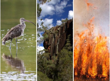
Australia has 66 Ramsar wetlands that cover more than 8.3 million hectares. Each Ramsar wetland has unique pressures on its ecological character and subsequently requires appropriate monitoring with context-specific indicators to understand changes in condition. This project is developing a better understanding of the monitoring frameworks that could be appropriate for use at Ramsar sites to guide the development of tools and capacity that could assist with monitoring and managing Ramsar wetlands.
Currently, there are numerous approaches to wetland monitoring across Australia’s 66 Ramsar sites. These approaches have evolved from the governance of water, biodiversity, catchment and protected-area management across the different levels of Australian governments. Subsequently, there is no evidence about the suitability of these often-differing approaches to:
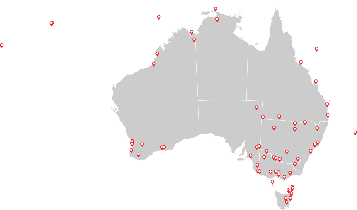
Map showing the locations of Australia’s Ramsar wetlands. Image: Resilient Landscapes Hub.
Key research areas
To address this challenge and equip Ramsar site managers with the best frameworks, tools and knowledge to continue ensuring the ecological condition of Australia’s 66 Ramsar wetlands, this project is:
The initial stage of the project will then inform 2 subsequent stages. Stage 2 will use a representative selection of Ramsar wetlands to trial indicators for different spatial and temporal pressures. Stage 3 will develop a monitoring framework for Ramsar wetlands that reflect adaptive-management principles and the use of specific indicators that are responsive to relevant pressures and management actions.
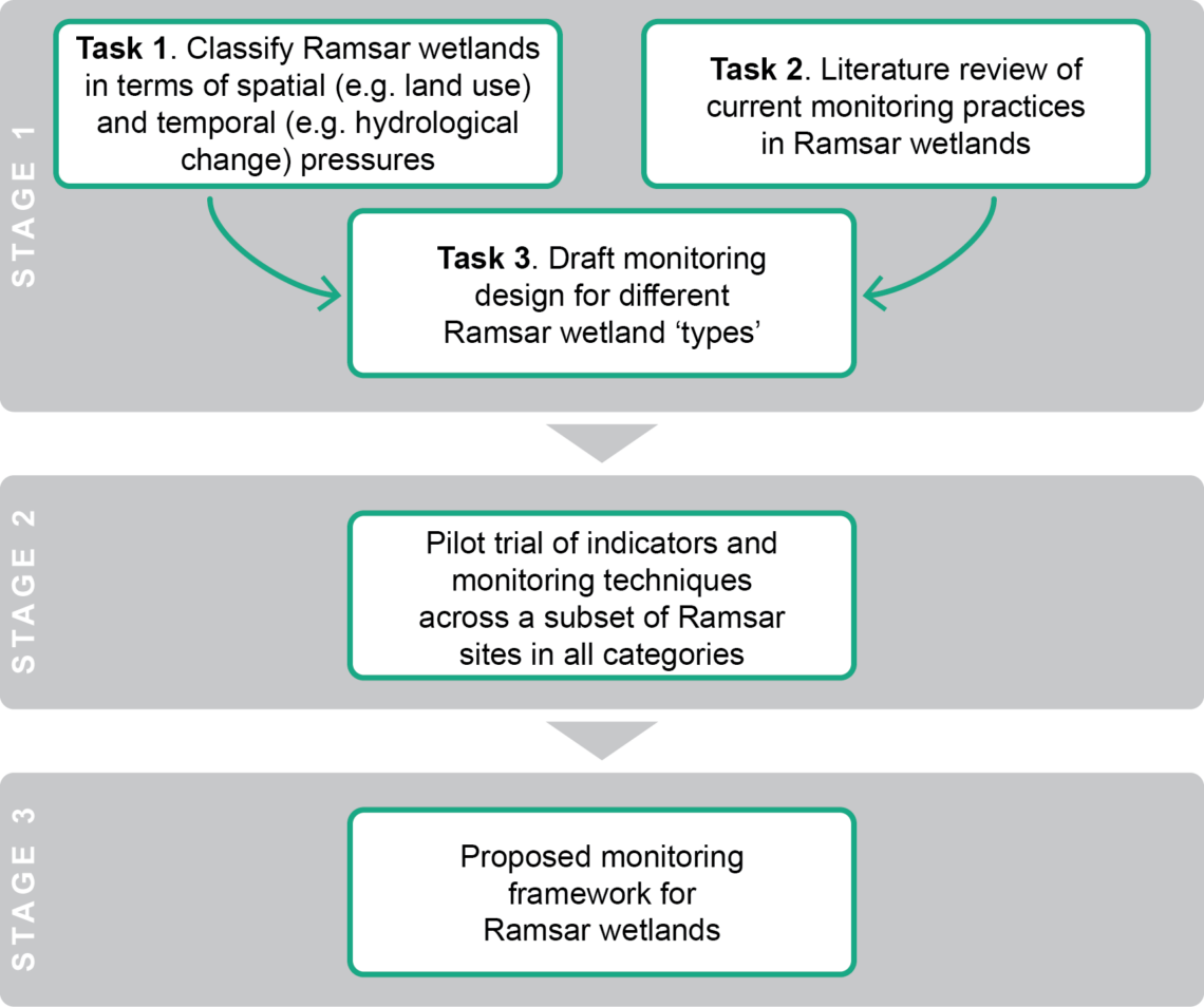
Conceptual diagram showing the distinct stages of this project. Image: Resilient Landscapes Hub.
Pathway to impact
This research will strengthen how Australia monitors and manages its Ramsar wetlands by:


Project leader
The project is being led by Professor Fran Sheldon from Griffith University. The project is collaborating with projects led by multiple other hubs and will be contributing to 3 cross-cutting initiatives:
Contact
For further information, contact f.sheldon@griffith.edu.au or nesplandscapes@uwa.edu.au.
Research users
People
Key Researcher
Griffith University
Research Executive Committee and Eastern Node Leader
Griffith University