Keywords: riparian, vegetation, agriculture, agricultural, irrigation, feral animals, fire, overgrazing, burning, improving riparian management, riverbank vegetation, stinking vine passionflower, Geikie Gorge, Fitzroy River, Western Australia, Kakadu, savanna landscape, sea level rise, inundation, flooding, floodplains, Kakadu, Top End nature, barramundi, barra, buffalo, brumbies, crocodiles, reptiles, crocs, NT crocs
Riparian vegetation in northern Australia is vulnerable to processes such as changes in water flows, fire, weed invasion and cattle grazing. Monitoring the condition of riparian vegetation is critical for effective adaptive management but can be challenging in northern Australia. Methods such as on-ground quadrats or transects have traditionally been used to survey vegetation but there is increasing interest in using remote-sensing techniques as these methods become more affordable, including drone-based photogrammetry and terrestrial laser scanning.
This component of the project compared two terrestrial laser scanning (TLS) sensors, drone photogrammetry and traditional vegetation transect methods to assess the structure of riparian vegetation in the lower Fitzroy River, Western Australia. The overview of the techniques focuses on the usability and application for management agencies, including associated costs and the level of knowledge, skills and experience required to process and analyse the data collected. Read more in the report for this component.

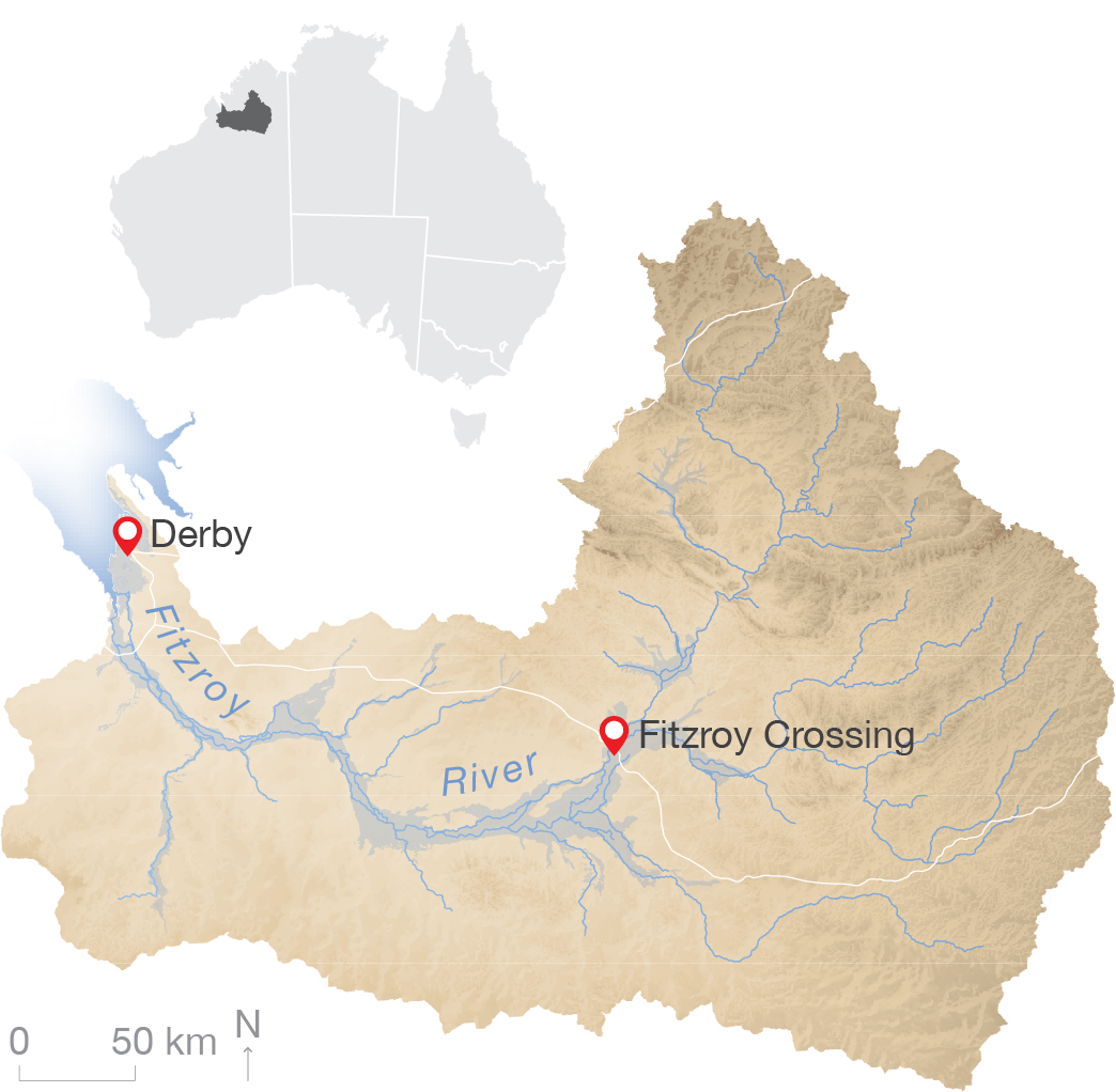
The Fitzroy River is in the Kimberley region of Western Australia.
Each of the tested methods has strengths and limitations in relation to scale (both detail/resolution and spatial coverage area), expertise, training and overall costs. Each method has potential to address specific questions in relation to the monitoring of riparian vegetation. TLS was found to be the most accurate and high-resolution method to investigate vegetation structure, but covers a smaller spatial area than drone photogrammetry. There are also a number of potential barriers to the application of TLS methods, including cost of equipment and software, advanced training expertise required, and field conditions. Drone photogrammetry provides TLS-like point-clouds, covers larger areas and has a lower cost to acquire data compared with TLS. However, drone photogrammetry provides less sub-canopy vegetation structure information and also requires high levels of expertise for processing and data extraction.


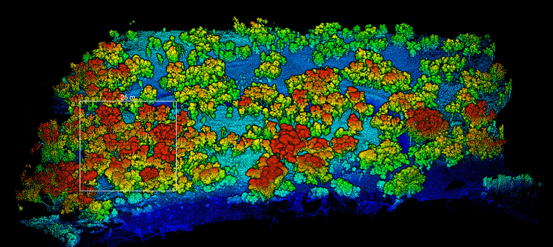
The TLS point cloud can be visualised at different angles. A side view (top) highlights the height of trees. A view from above (bottom) may better show the cover and distribution of vegetation.
Each of the tested methods produced different types of data, from highly detailed 3D point-clouds using TLS, to estimated vegetation health scores using rapid vegetation transect assessments. There were also differences in the spatial scale assessed by each method and the opportunities for sampling frequency.

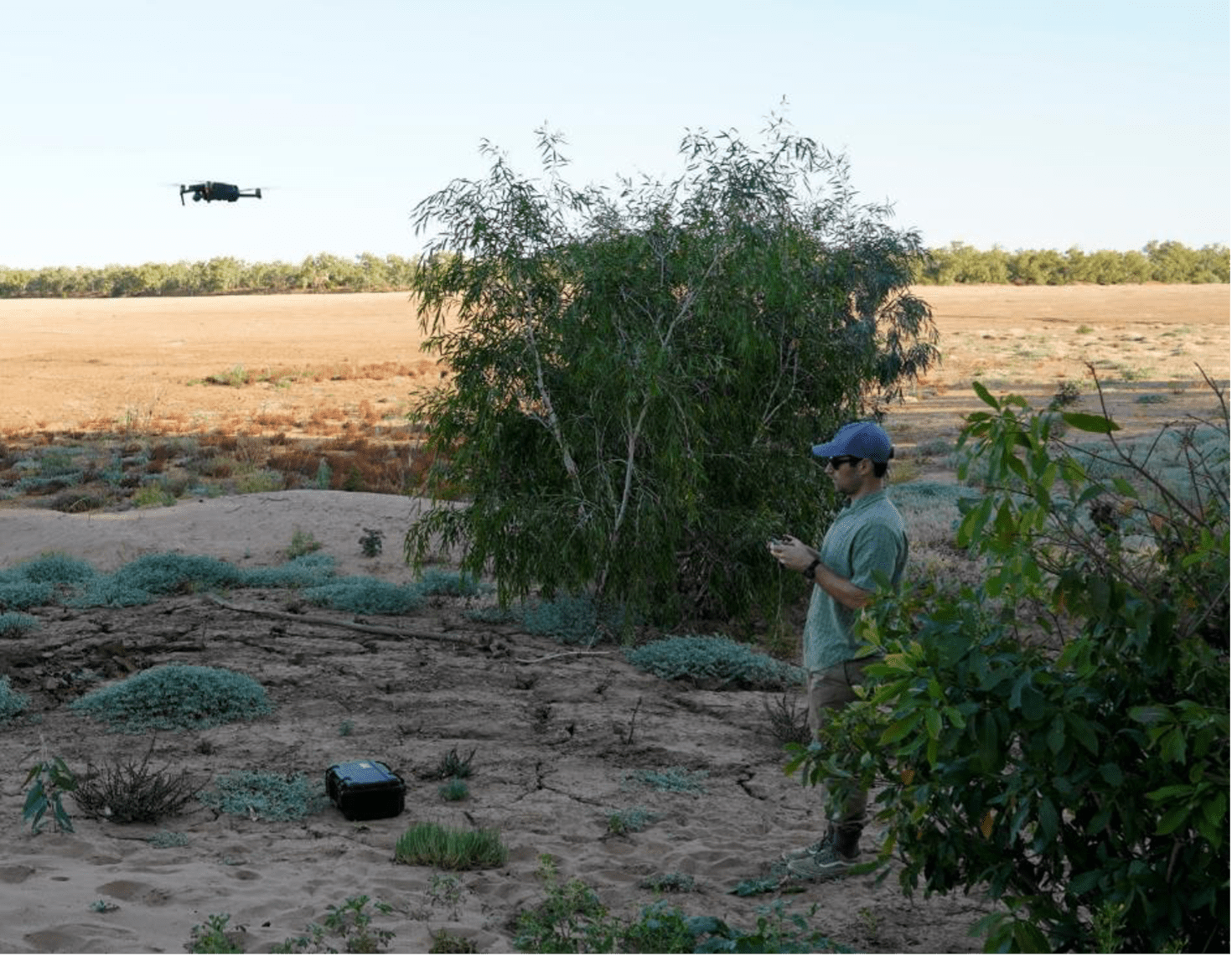
Collection of data using a drone. Photo: Fiona Freestone.
While the technology to collect remotely sensed data is becoming increasingly user-friendly and affordable, processing the data remains a specialised skill. To derive metrics from TLS and drone photogrammetry requires access to appropriate computer processors, software and specialised knowledge, skills and experience. Therefore, the application of TLS or drone photogrammetry should align with the specific aims of the monitoring program and the budget and human resources available.

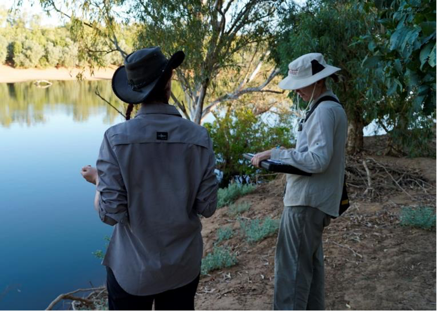
Completing surveys using the transects. Photo: Karen Dayman.
The overall project was led by Associate Professor Samantha Setterfield at The University of Western Australia (UWA).
This project was completed in June 2022.
Contact
Samantha Setterfield, UWA
samantha.setterfield@uwa.edu.au