There is limited biological data from across the remote and inaccessible northern Australian coastline that can be used to inform bioregional planning processes, development approvals and, ultimately, biodiversity conservation.
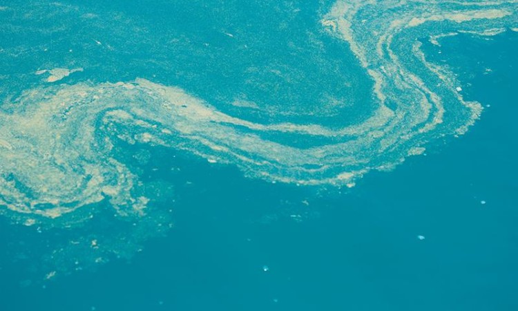
Habitat availability and biophysical factors such as water depth, light availability and turbidity are important determinants of coastal and marine biodiversity.
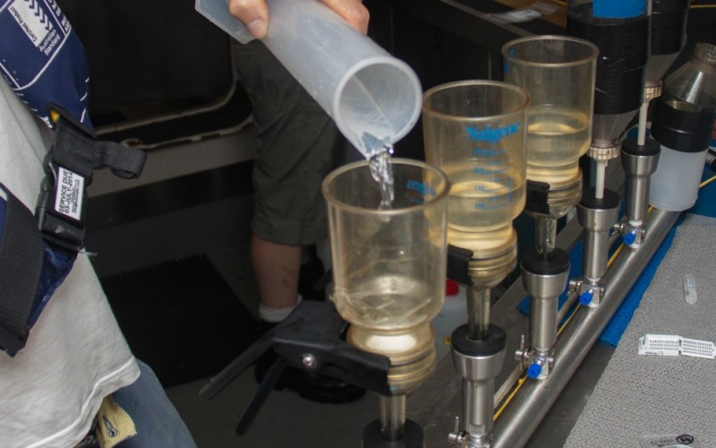
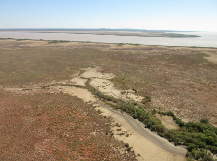
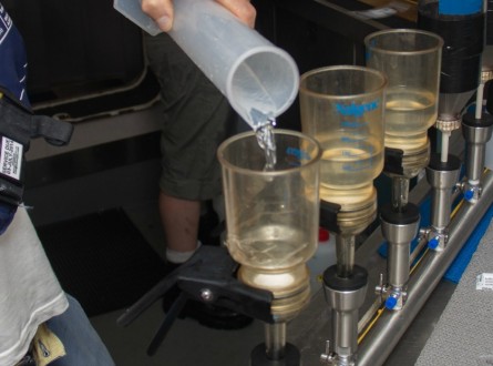
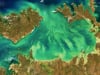
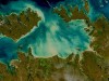
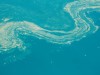
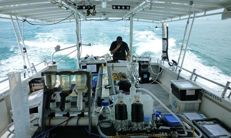
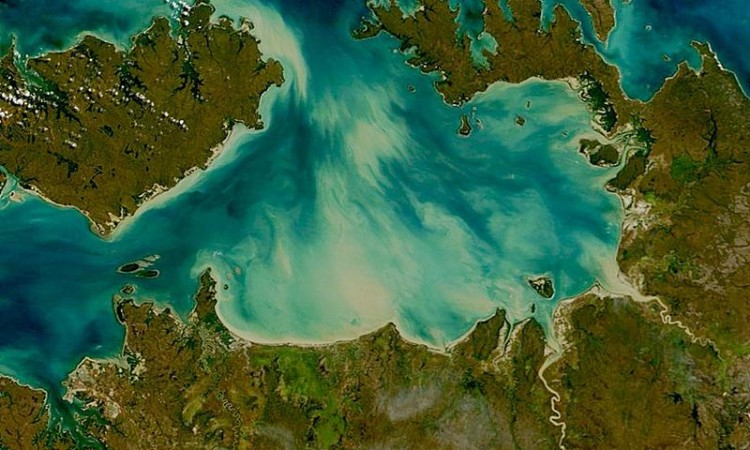
Managing the natural resources of the Alligator Rivers Region in Kakadu National Park relies on long-term monitoring of key biophysical parameters in the wetlands and adjacent seas where little is known about biodiversity and ecosystem processes. Remote sensing provides a cost-effective monitoring and assessment tool in this data-sparse region, allowing the detection of changes across habitats, and trends in coastal water quality.

Scientific Paper
November 2015
ESA-MERIS 10-Year Mission Reveals Contrasting Phytoplankton Bloom Dynamics in Two Tropical Regions of Northern Australia
Remote Sensing, Blondeau-Patissier, D, Schroeder, T, Brando, VE, Maier, SW, Dekker, AG, Phinn, S, 04/2014
Other
November 2015
Inter-comparison of atmospheric correction algorithms for MODIS: Evaluation with emphasis on coastal waters (poster)
Other
November 2015
Inter-comparison of atmospheric correction algorithms for MODIS: Evaluation with emphasis on coastal waters (poster)
Scientific Paper
November 2015
An extended validation test for data fed into parametrized retrieval algorithms
In Proceedings of the 2012 International Radiation Symposium, 6-10 August 2012, Berlin, Germany, Schaale, M, Schroeder, T, 05/2013
Report
March 2015
Remote sensing methods to map and monitor the condition of coastal habitats and other surrogates for biodiversity – Part B: Water quality mapping of the Van Diemen Gulf
Report
March 2015
Remote sensing methods to map and monitor the condition of coastal habitats and other surrogates for biodiversity – Part A: Floodplain vegetation mapping of the Kakadu National Park
Anstee, J.M, Botha, E.J., Byrne, G.T., Dyce, P. and Schroeder, T. (2015) Remote sensing methods to map and monitor the condition of coastal habitats and other surrogates for biodiversity, Part A: Floodplain vegetation mapping of the Kakadu National Park, CSIRO Oceans & Atmosphere Flagship, Australia.
The project was undertaken by scientists from CSIRO:
with the support of Traditional Owners and Parks Australia. The team was led by Dr Thomas Schroeder.
Project Leader
Dr Thomas Schroeder
CSIRO Oceans & Atmosphere Flagship
Aquatic Remote Sensing
E: Thomas.Schroeder@csiro.au