Samantha Setterfield
Research Executive Committee and Western Node Leader
The University of Western Australia
Keywords: riparian, vegetation, agriculture, agricultural, irrigation, feral animals, fire, overgrazing, burning, improving riparian management, riverbank vegetation, stinking vine passionflower, Geikie Gorge, Fitzroy River, Western Australia, Kakadu, savanna landscape, sea level rise, inundation, flooding, floodplains, Kakadu, Top End nature, barramundi, barra, buffalo, brumbies, crocodiles, reptiles, crocs, NT crocs
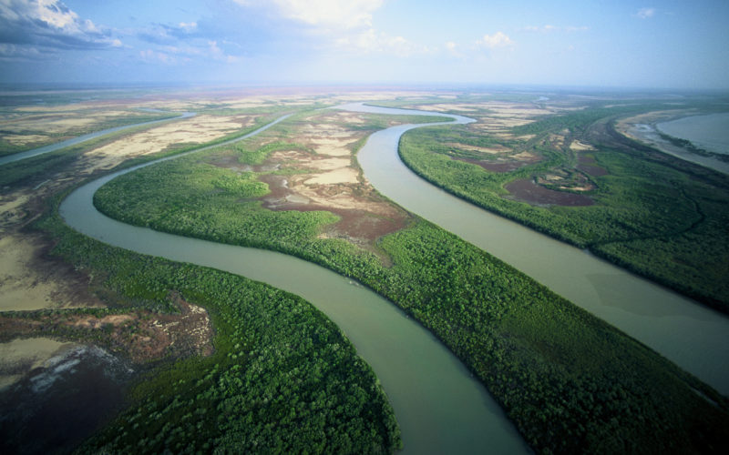
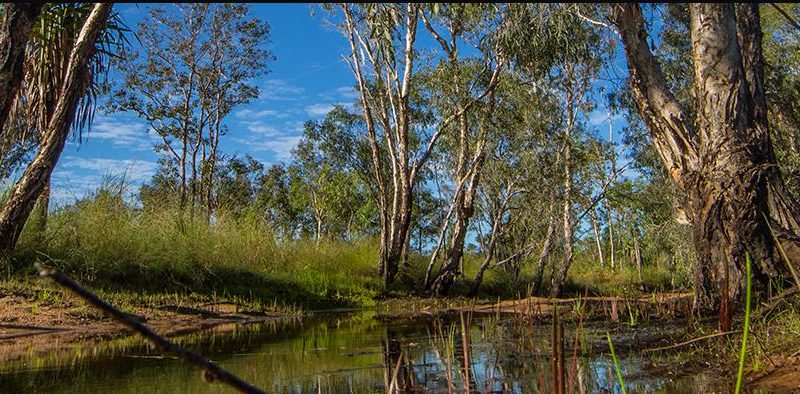
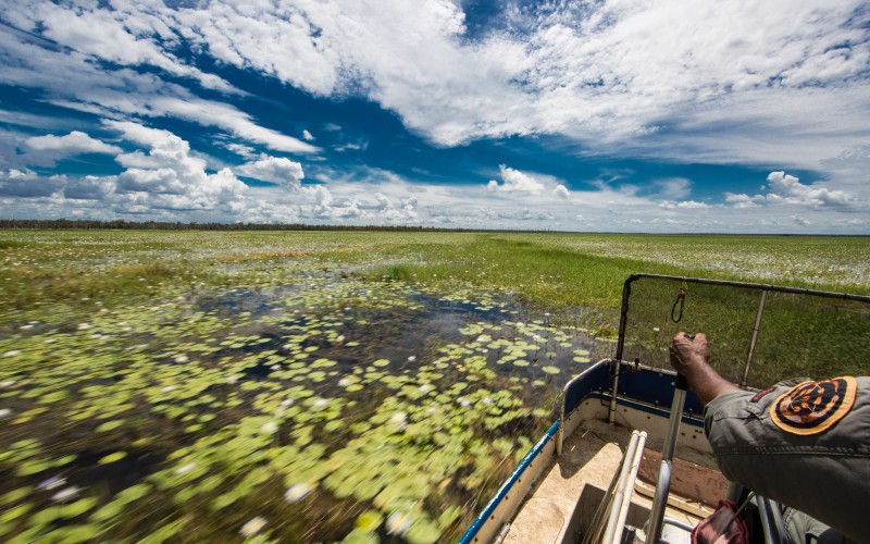
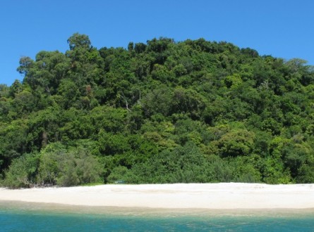
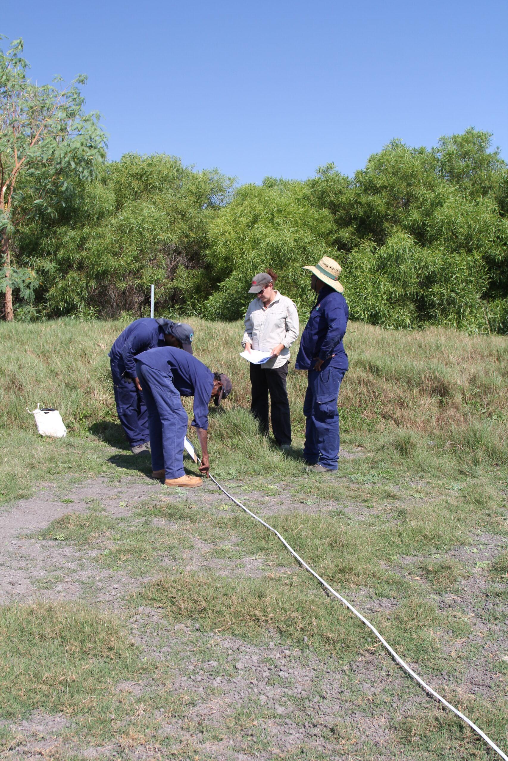
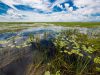
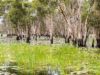
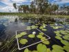
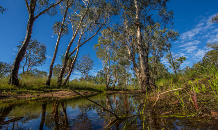
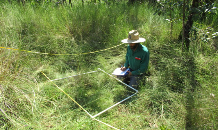
Riparian vegetation in northern Australia is vulnerable to processes such as changes in water flows, fire, weed invasion and cattle grazing. Monitoring the condition of riparian vegetation is critical for effective adaptive management but can be challenging in northern Australia. Methods such as on-ground quadrats or transects have traditionally been used to survey vegetation but there is increasing interest in using remote-sensing techniques as these methods become more affordable, including drone-based photogrammetry and terrestrial laser scanning.
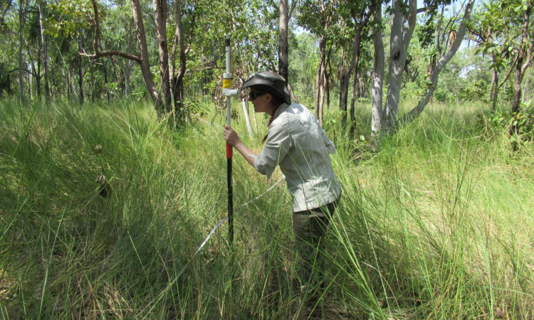
This component of the project compared two terrestrial laser scanning (TLS) sensors, drone photogrammetry and traditional vegetation transect methods to assess the structure of riparian vegetation in the lower Fitzroy River, Western Australia. The overview of the techniques focuses on the usability and application for management agencies, including associated costs and the level of knowledge, skills and experience required to process and analyse the data collected. Read more in the report for this component.
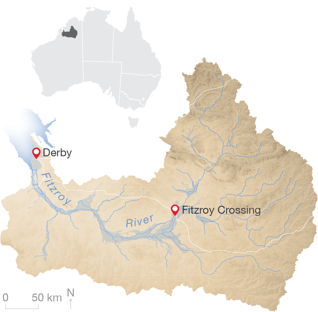
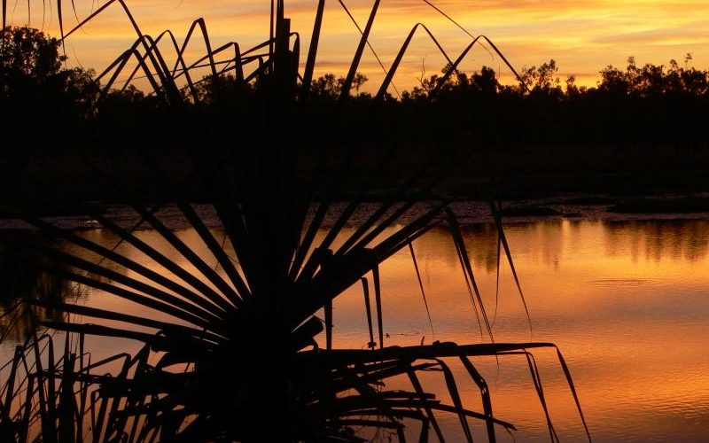
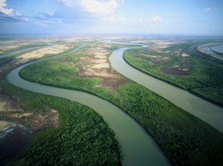
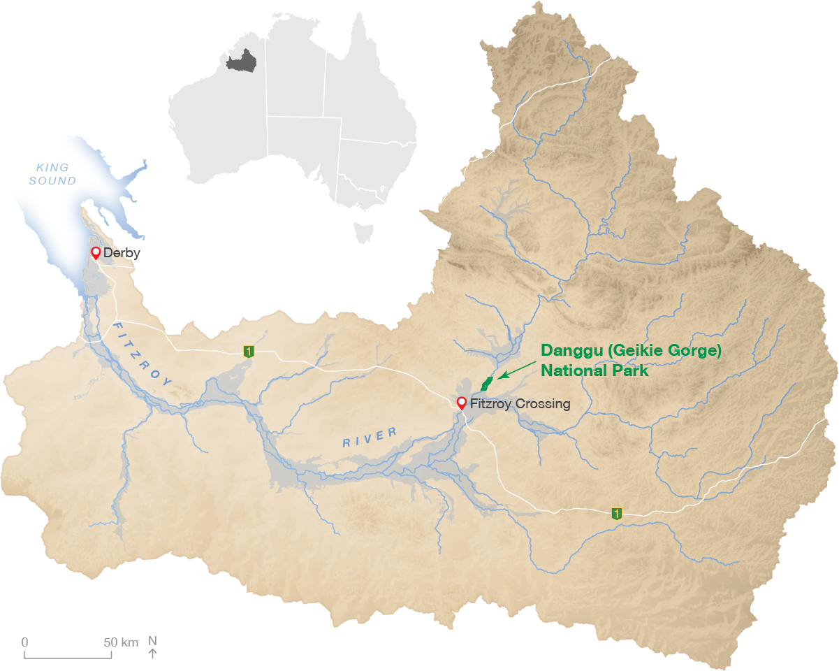
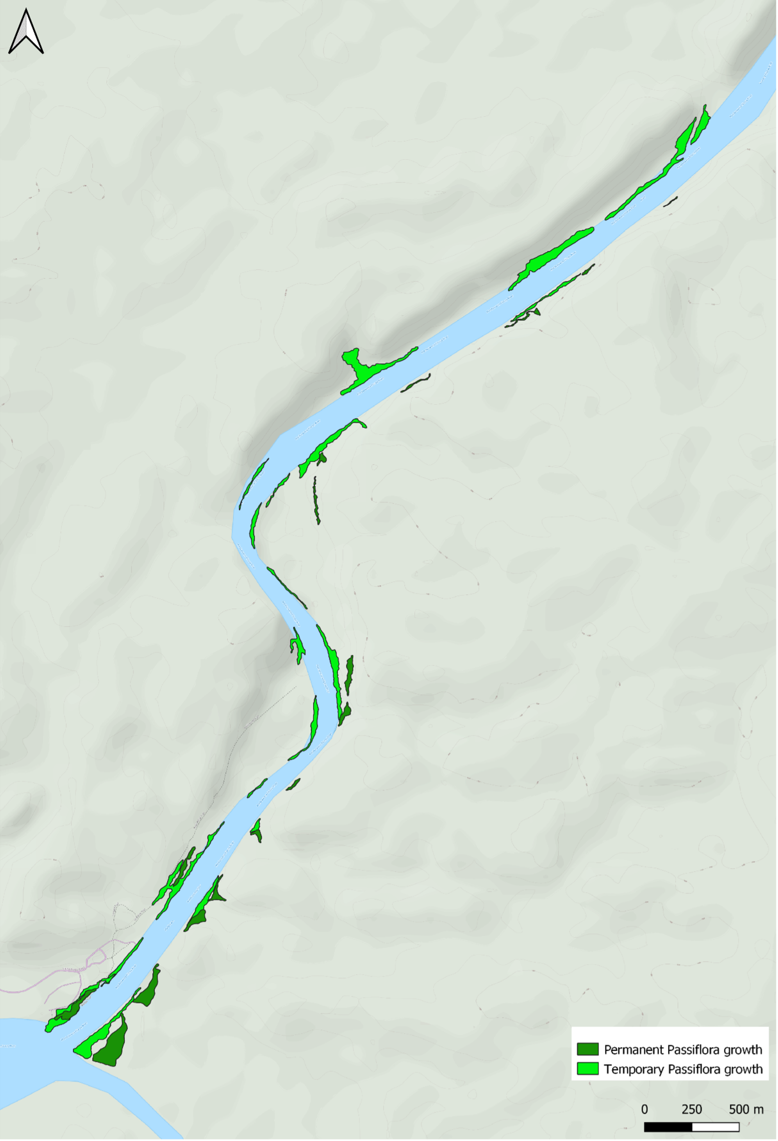
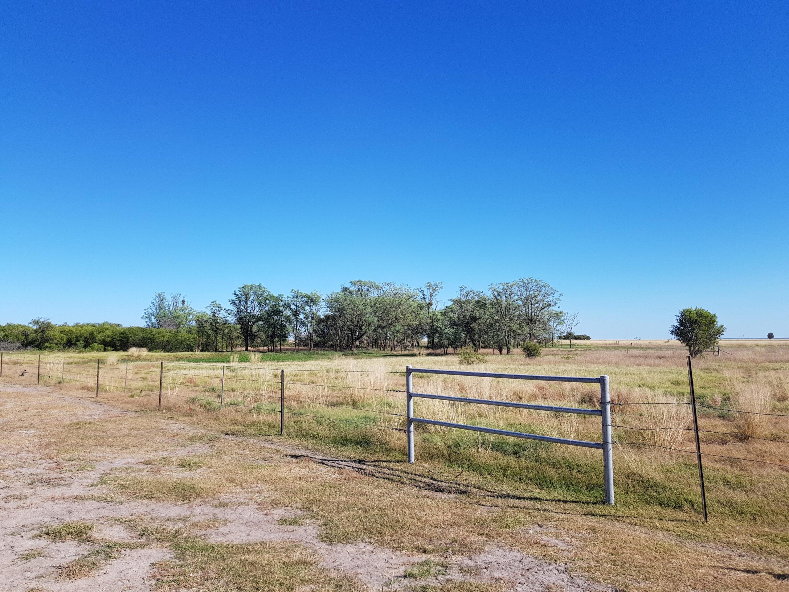
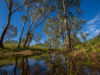
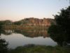
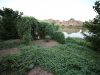
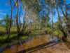
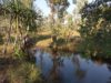
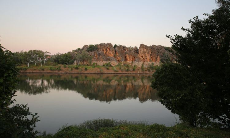
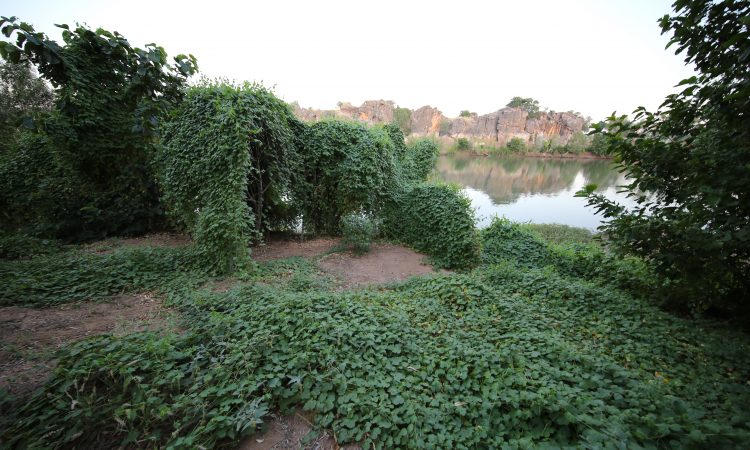
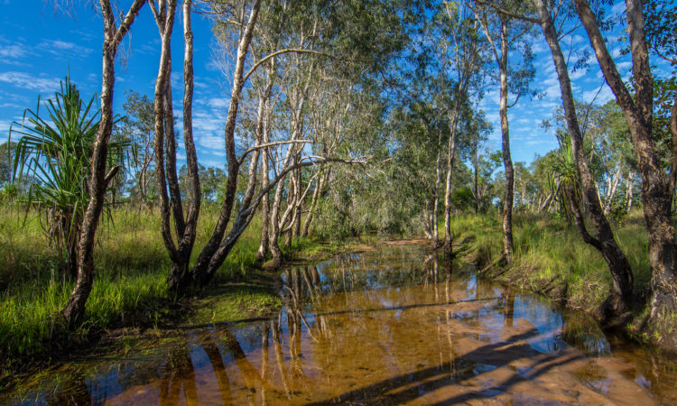
The Fitzroy River is in the Kimberley region of Western Australia.
Each of the tested methods has strengths and limitations in relation to scale (both detail/resolution and spatial coverage area), expertise, training and overall costs. Each method has potential to address specific questions in relation to the monitoring of riparian vegetation. TLS was found to be the most accurate and high-resolution method to investigate vegetation structure, but covers a smaller spatial area than drone photogrammetry. There are also a number of potential barriers to the application of TLS methods, including cost of equipment and software, advanced training expertise required, and field conditions. Drone photogrammetry provides TLS-like point-clouds, covers larger areas and has a lower cost to acquire data compared with TLS. However, drone photogrammetry provides less sub-canopy vegetation structure information and also requires high levels of expertise for processing and data extraction.
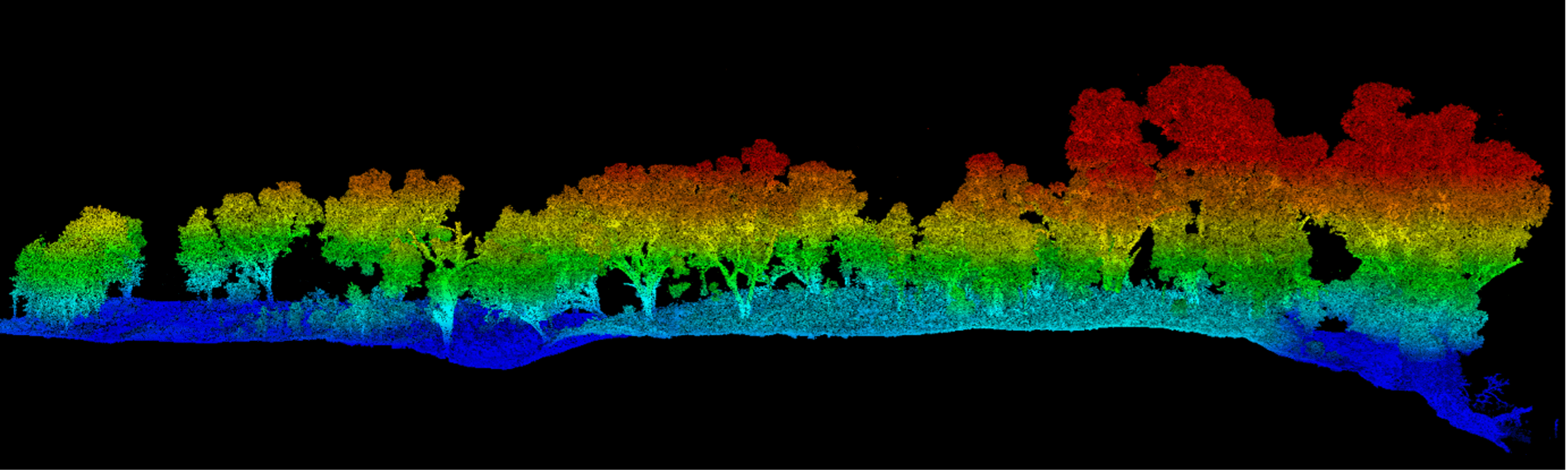
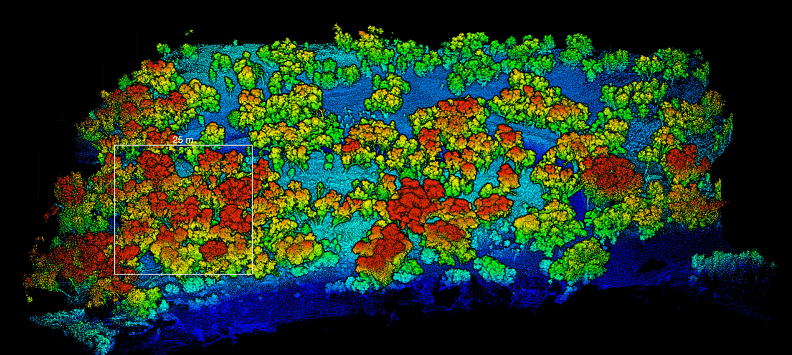
The TLS point cloud can be visualised at different angles. A side view (top) highlights the height of trees. A view from above (bottom) may better show the cover and distribution of vegetation.
Each of the tested methods produced different types of data, from highly detailed 3D point-clouds using TLS, to estimated vegetation health scores using rapid vegetation transect assessments. There were also differences in the spatial scale assessed by each method and the opportunities for sampling frequency.
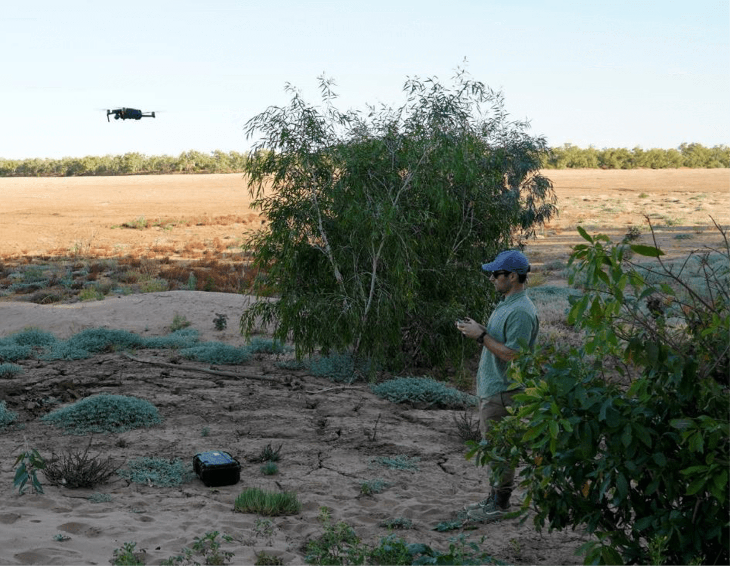
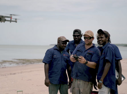
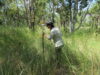
Collection of data using a drone. Photo: Fiona Freestone.
While the technology to collect remotely sensed data is becoming increasingly user-friendly and affordable, processing the data remains a specialised skill. To derive metrics from TLS and drone photogrammetry requires access to appropriate computer processors, software and specialised knowledge, skills and experience. Therefore, the application of TLS or drone photogrammetry should align with the specific aims of the monitoring program and the budget and human resources available.
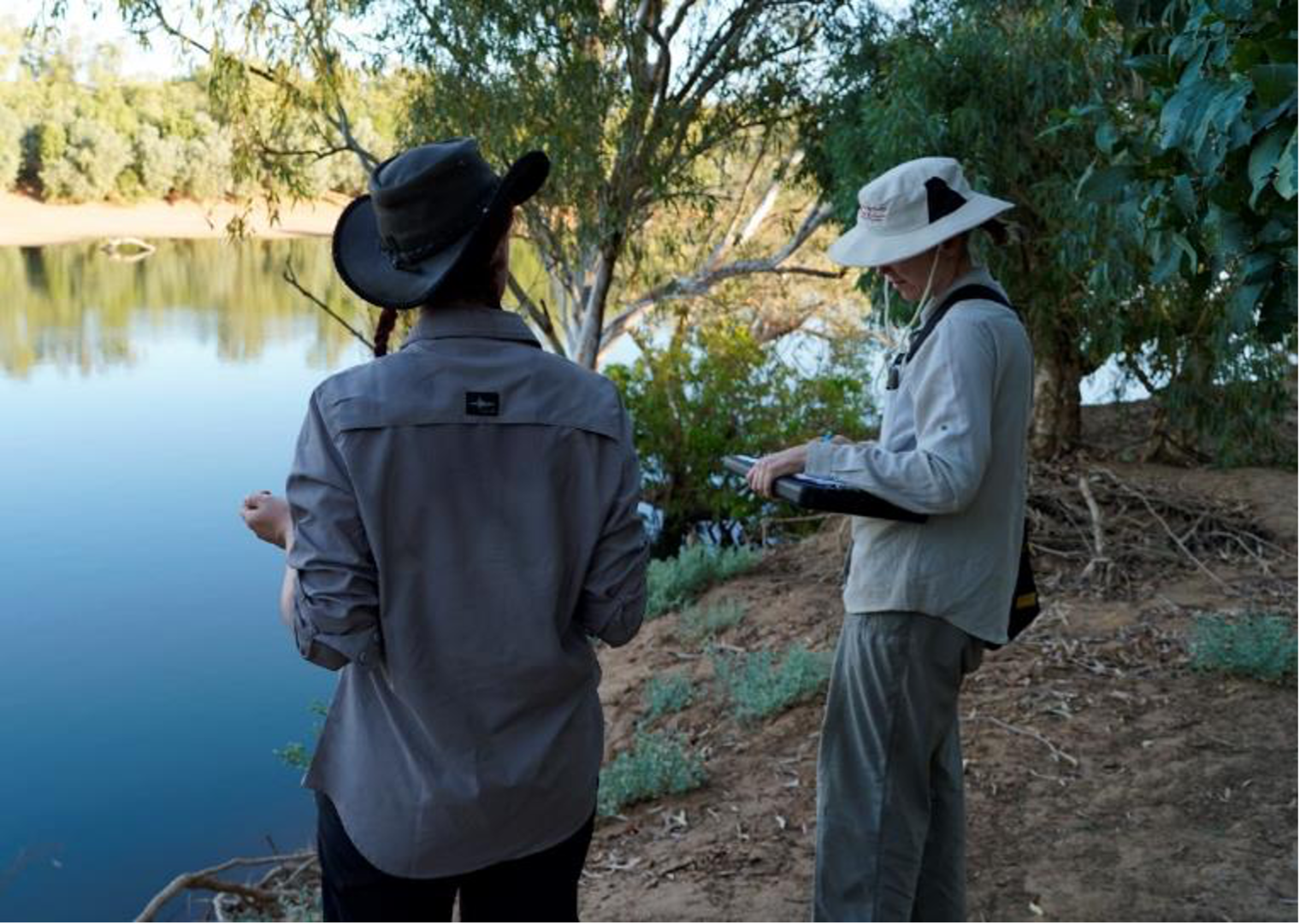
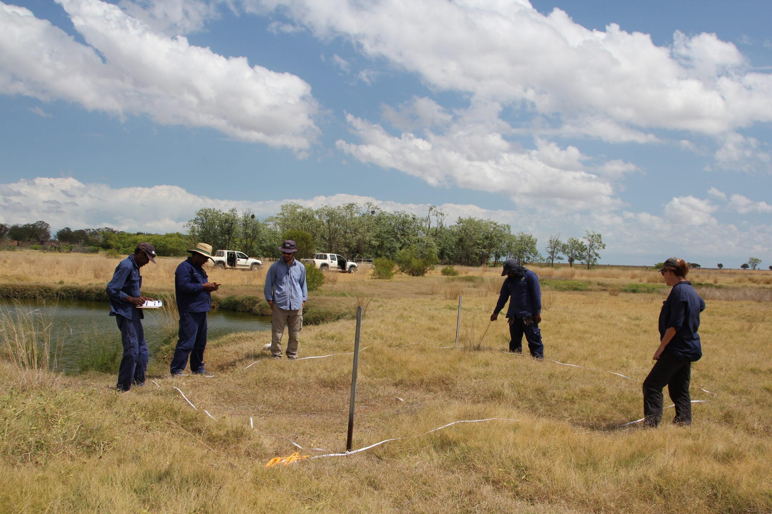
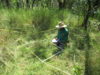
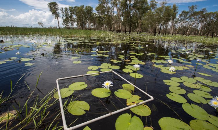
Completing surveys using the transects. Photo: Karen Dayman.
Report
January 2023
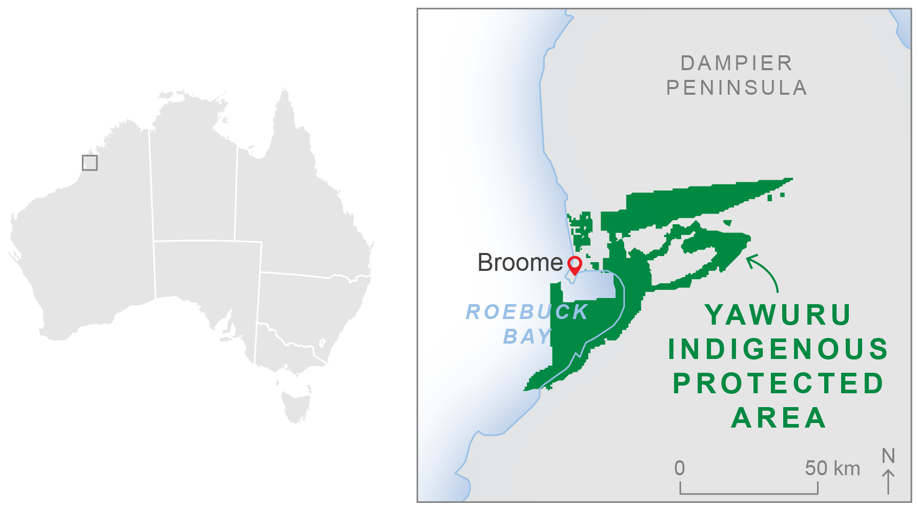
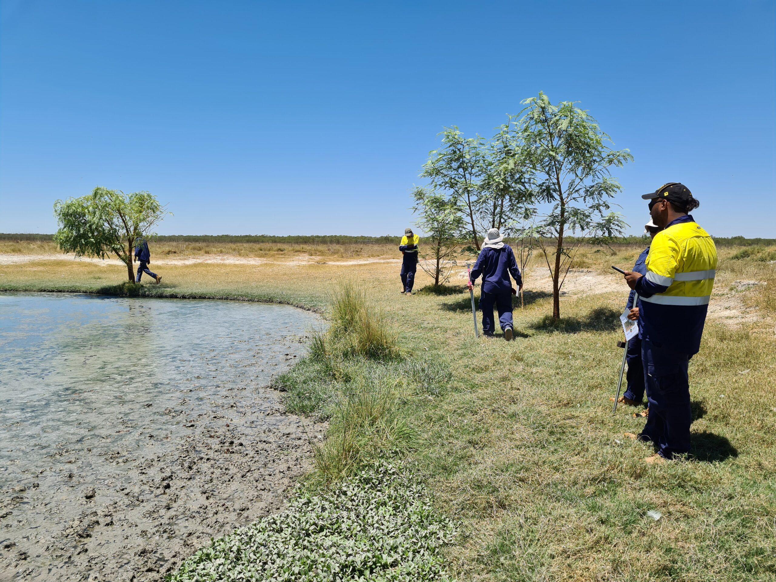
Developing a Yawuru bilarra (wetland) monitoring program (report)
Report
July 2022
Northern Hub Final Report 2021
Northern Australia Environmental Resources Hub. 2021. Northern Australia Environmental Resources Hub Final Report. Charles Darwin University, Darwin.
Report
April 2022
Assessment of tools for monitoring savanna riparian vegetation (report)
Canham CA, Freestone FL, Levick, SR, Callow N, Dixon D, Douglas MM, & Setterfield SA. 2021. Assessment of tools for monitoring savanna riparian vegetation: Fitzroy River case study. The University of Western Australia, Perth.
Report
December 2021
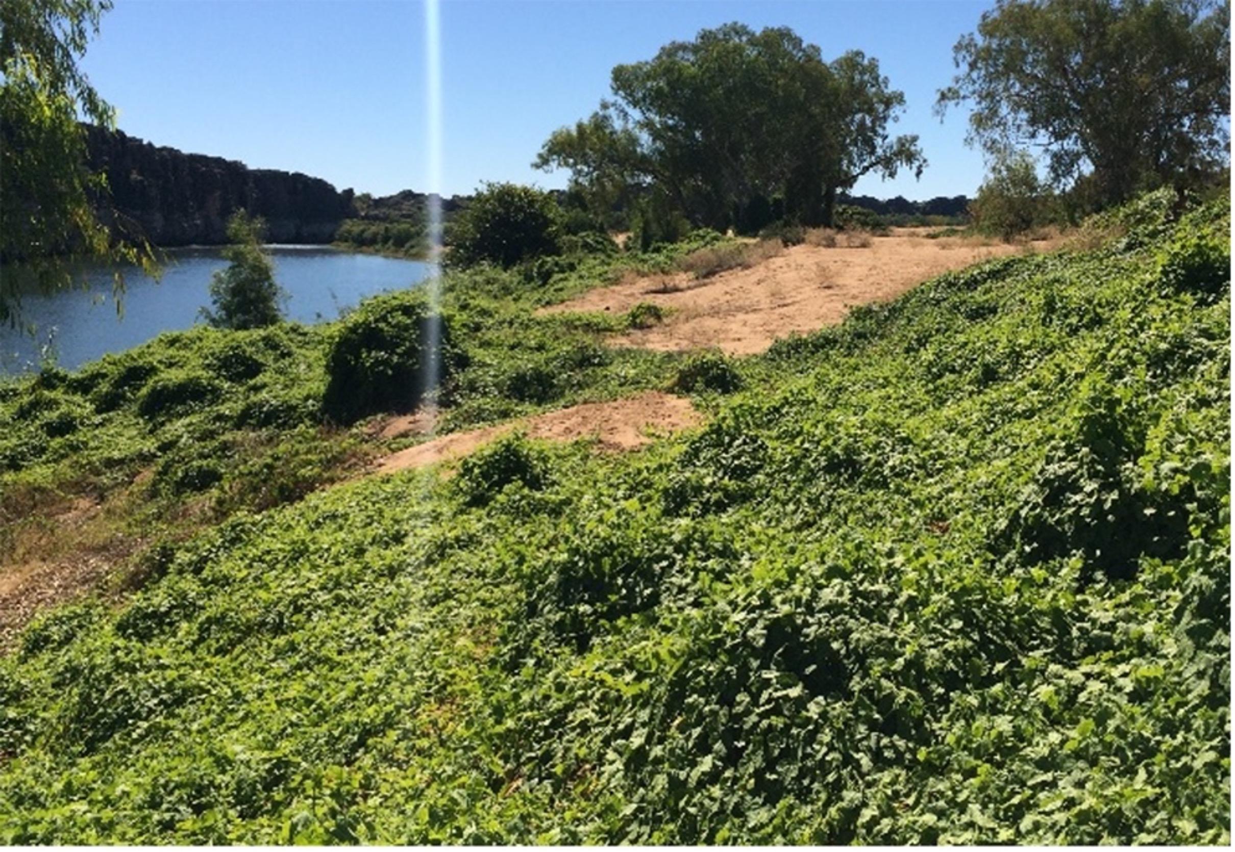
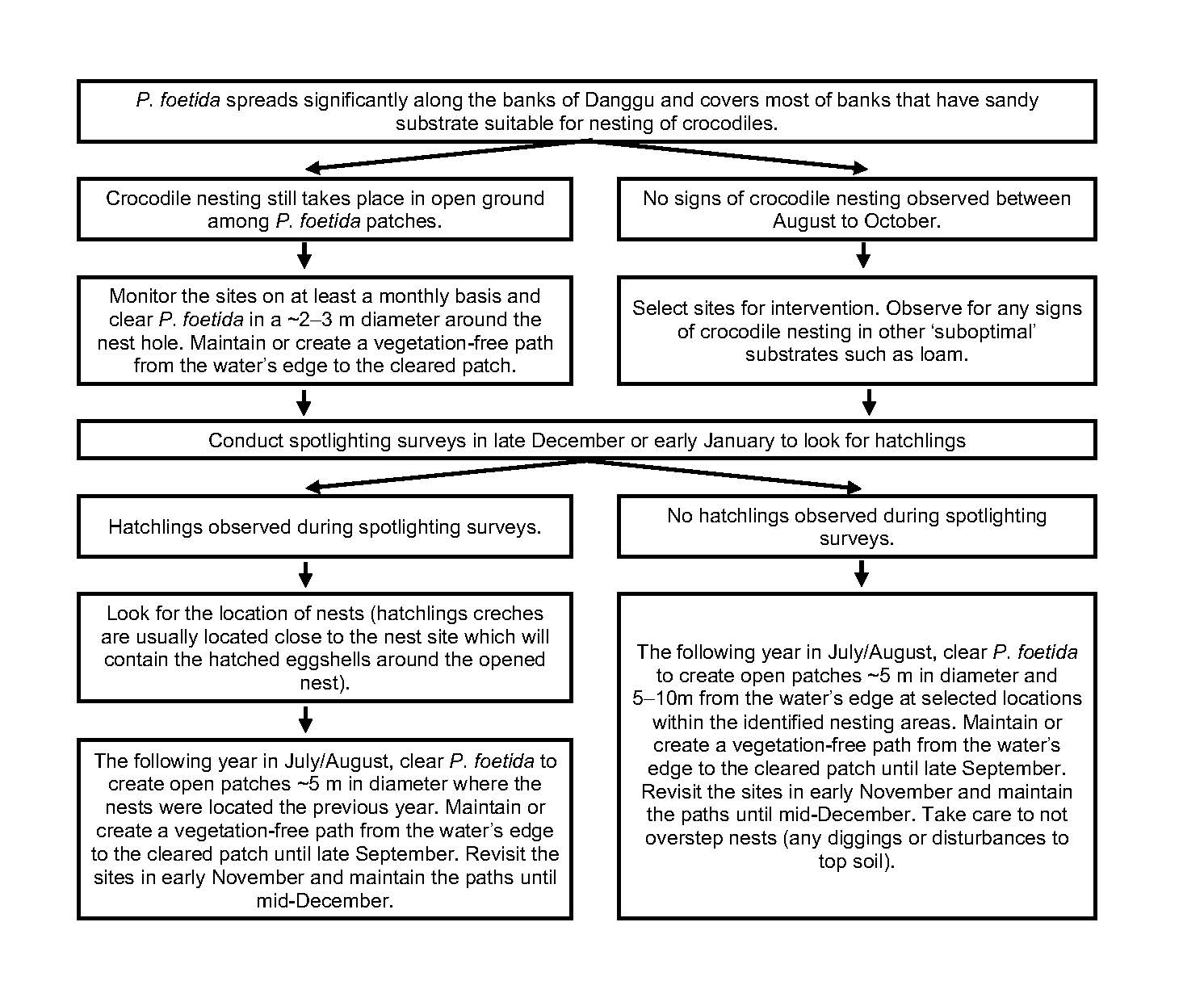
Guiding stinking passionflower management at Danggu (Geikie Gorge) (report)
Somaweera, R., Yeoh, P.B. and Webber, B.L. (2021) Guiding stinking passionflower management at Danggu (Geikie Gorge) National Park for conservation of freshwater crocodiles. CSIRO, Perth.
Report
December 2021
An eco-hydrological model for assessing riparian habitat (report)
Hipsey M.R., Zhai S., Busch B., Huang P., Coletti J-Z., Somaweera R., Webber B.L., Setterfield S.A. (2021). An eco-hydrological model for assessing riparian habitat: application to Passiflora foetida-crocodile nest interactions at Danggu (Geike Gorge). The University of Western Australia, Perth. Australia.
Report
December 2021
Distribution maps of stinking passionflower at Danggu (Geikie Gorge) National Park (report)
Webber, B.L., Yeoh, P.B. & Somaweera, R. (2021) Distribution maps of stinking passionflower (Passiflora foetida) at Danggu (Geikie Gorge) National Park. CSIRO, Perth.
Impact Storie
May 2021
Engagement is a two-way street: Creating symbols for science communication (impact story 2020)
Other
March 2021
More Than Words (CSIRO Double Helix article Jan 2021)
Report
October 2020
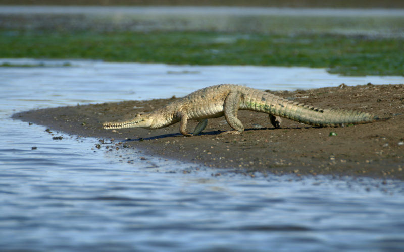
Distribution maps of freshwater crocodiles and their nests at Danggu (Geike Gorge) National Park (report)
Scientific Paper
March 2020
The ecological importance of crocodylians: towards evidence-based justification for their conservation (scientific paper)
Somaweera, R., Nifong, J., Rosenblatt, A., Brien, M.L., Combrink, X., Elsey, R.M., Grigg, G., Magnusson, W.E., Mazzotti, F.J., Pearcy, A., Platt, S.G., Shirley, M.H., Tellez, M., van der Ploeg, J., Webb, G., Whitaker, R. and Webber, B.L. (2020), The ecological importance of crocodylians: towards evidence‐based justification for their conservation. Biol Rev. doi:10.1111/brv.12594
Scientific Paper
September 2019 | Open Access
Absence of evidence is not evidence of absence: Knowledge shortfalls threaten the effective conservation of freshwater crocodiles (scientific paper)
Somaweera, R., Brien, M.L., Sonneman, T., Didham, R.K. & Webber, B.L. (2019). Absence of evidence is not evidence of absence: Knowledge shortfalls threaten the effective conservation of freshwater crocodiles, Global Ecology and Conservation, Volume 20, e00773, ISSN 2351-9894. https://doi.org/10.1016/j.gecco.2019.e00773.
Other
April 2019
Managing stinking passionflower with Dr Bruce Webber (radio interview)
Bruce Webber interview with Wangki Radio about managing stinking passionflower
Scientific Paper
December 2018 | Open Access
Direct and indirect interactions with vegetation shape crocodylian ecology at multiple scales (scientific paper)
Somaweera, R., Brien, M., Platt, S., Manolis, C., & Webber, B. (2018). Direct and indirect interactions with vegetation shape crocodylian ecology at multiple scales. Freshwater Biology, Freshwater Biology, 12/09/2018.
Other
May 2017
West Kimberley research overview (brochure Jun 2018)
Other
May 2017
Top End research overview (brochure Jun 2018)
Info Sheet
November 2016
Managing savanna riparian zones (start-up factsheet)
The overall project was led by Associate Professor Samantha Setterfield at The University of Western Australia (UWA).
This project was completed in June 2022.
Contact
Samantha Setterfield, UWA
samantha.setterfield@uwa.edu.au
![]()
![]()
![]()
![]()
Research Executive Committee and Western Node Leader
The University of Western Australia
CSIRO
CSIRO
DBCA (Western Australia)